HongKongMaper
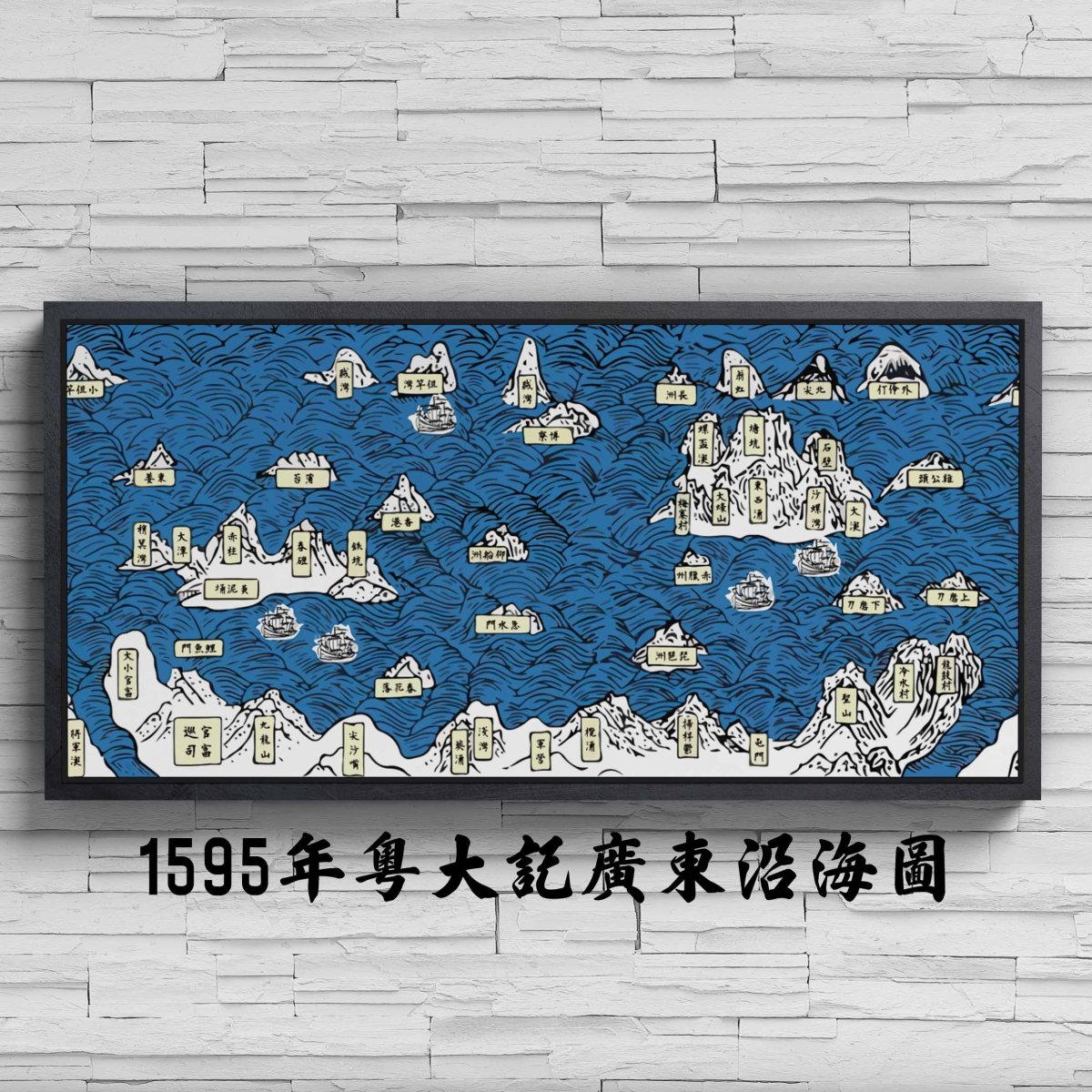
1595 Hong Kong Yue Da Ji Guangdong Coastal Remake Map on Canvas
1595 Hong Kong Yue Da Ji Guangdong Coastal Remake Map on Canvas
Couldn't load pickup availability
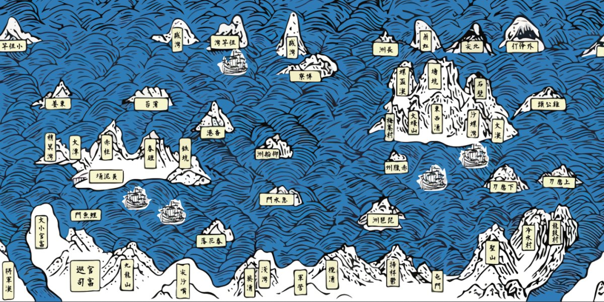
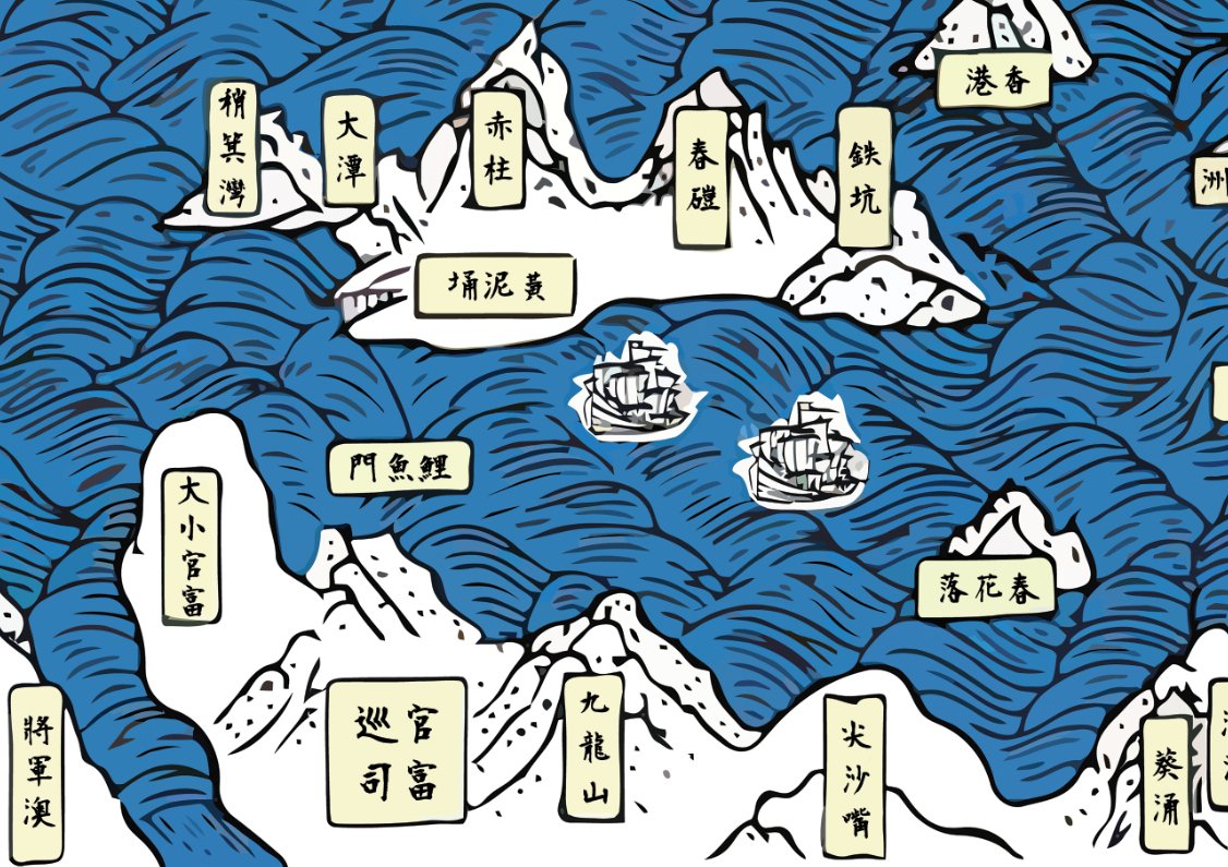
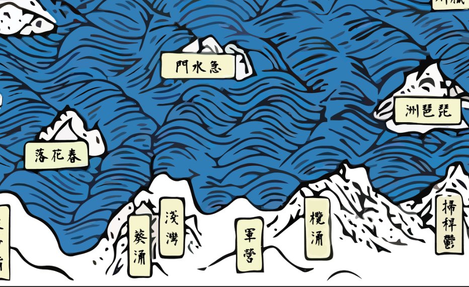
A Ming-dynasty coastal chart from the 1595 Yu Da Ji, following the Guangdong coast down to the Hong Kong area.
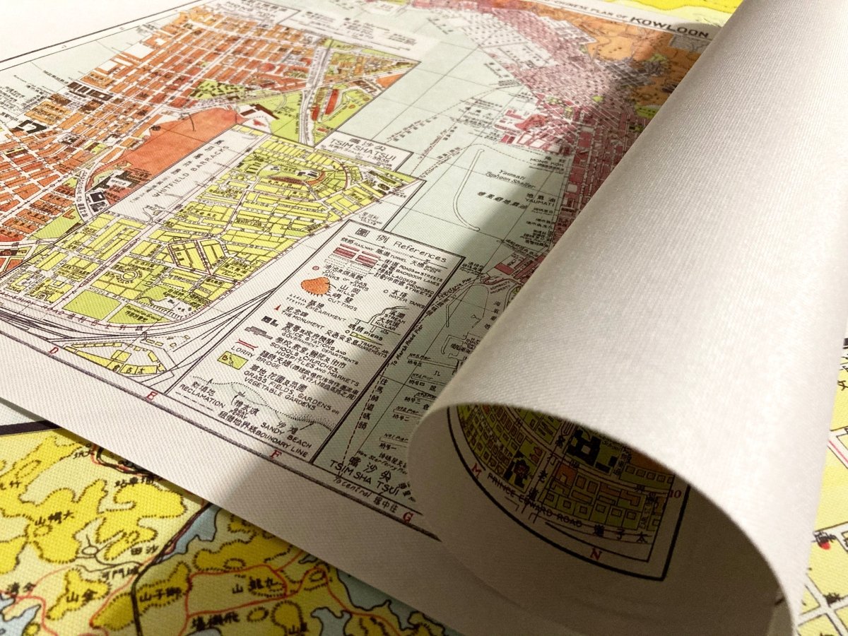
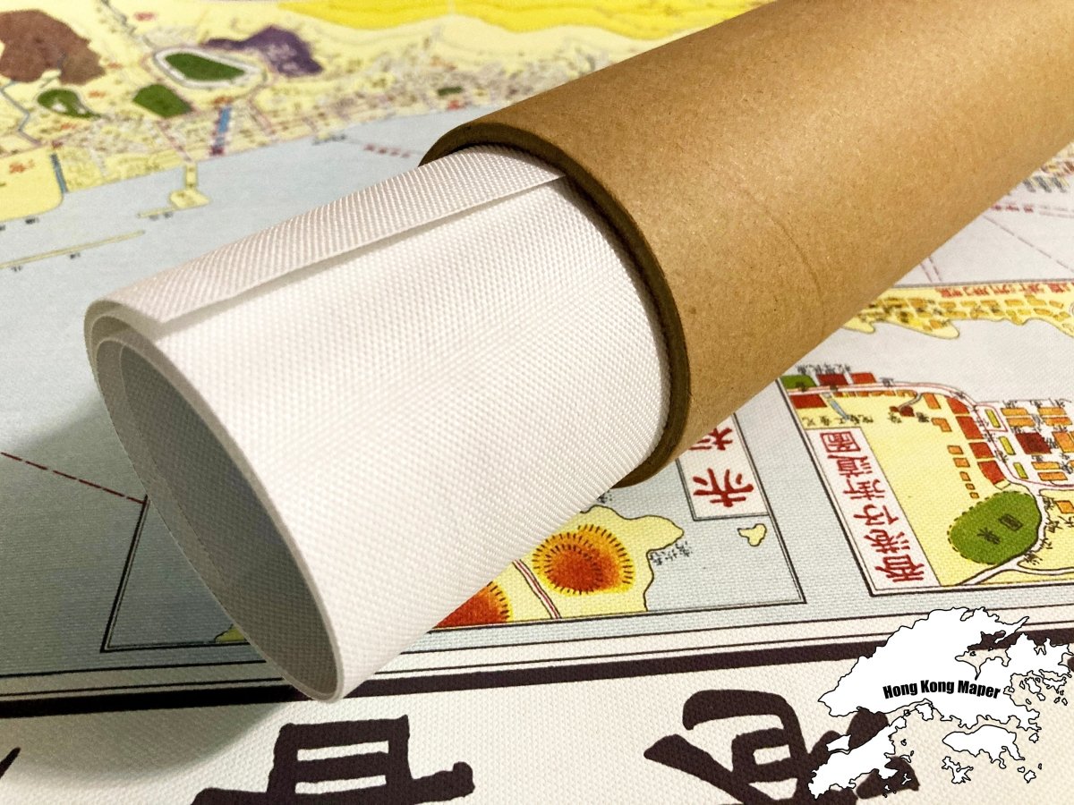
- Material: canvas print, digitally restored (spots removed, losses repaired, colours rebuilt)
- Sizes: about 25 x 50 cm, about 50 x 100 cm
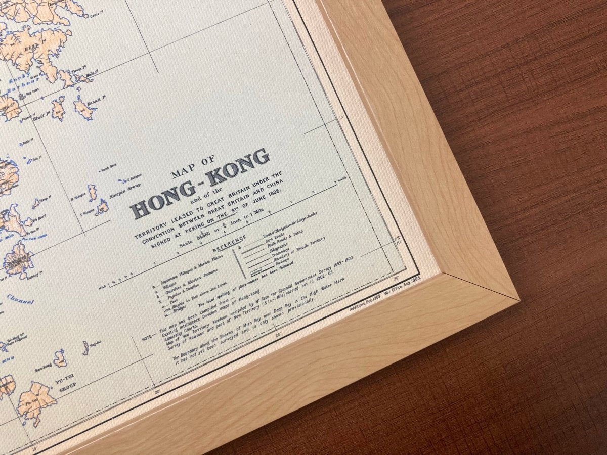
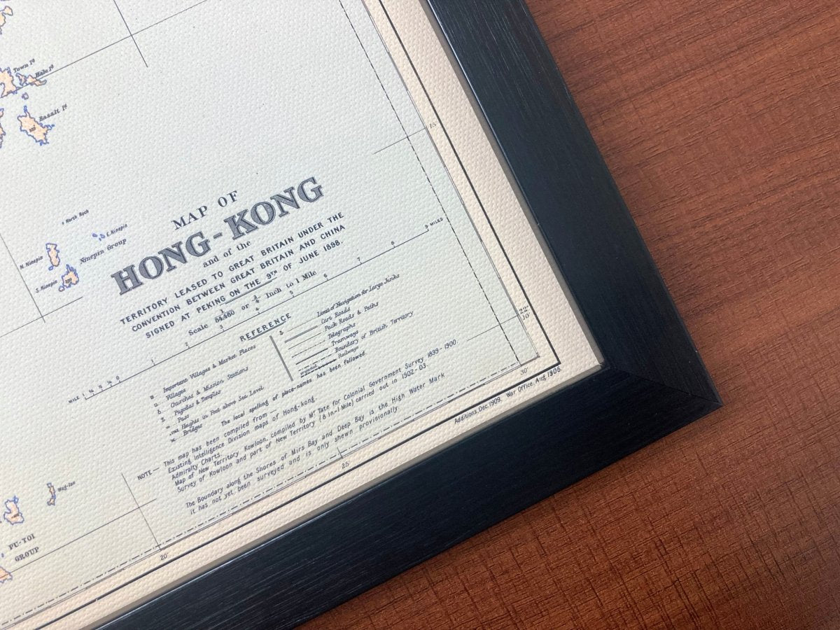
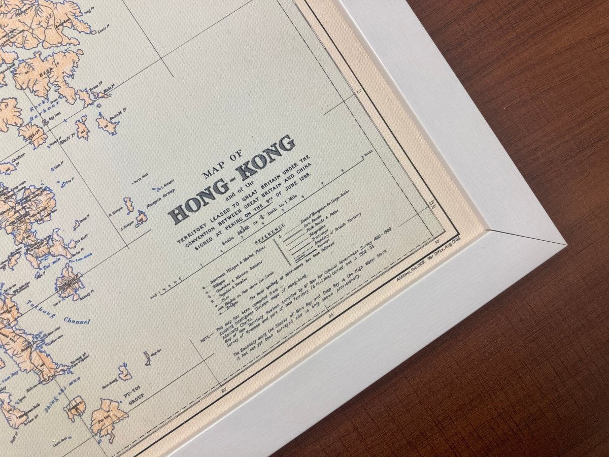
- Frame: optional wooden frame, sold separately
For anyone interested in where Hong Kong's place names came from, or in Ming coastal defence maps.
Images are for reference; the print is a high-resolution restored reproduction, not the original map.
Allow 3 to 14 days for us to prepare, pack and hand the parcel to the postal service. Delivery to Hong Kong and overseas.
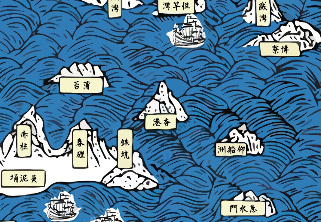
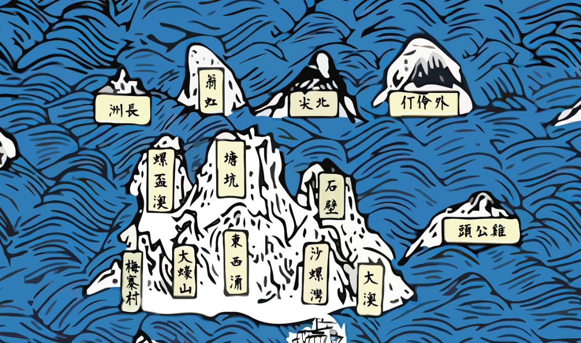
About this 1595 map: the Yu Da Ji was compiled by Guo Fei in the Wanli period of the Ming dynasty, and its coastal chart is among the earliest Chinese maps to mark place names in the Hong Kong area. It was drawn for coastal defence, and the shoreline and islands of today's Hong Kong Island, Kowloon and Lantau can be made out, which makes it a useful reference for the origins of local place names.