HongKongMaper
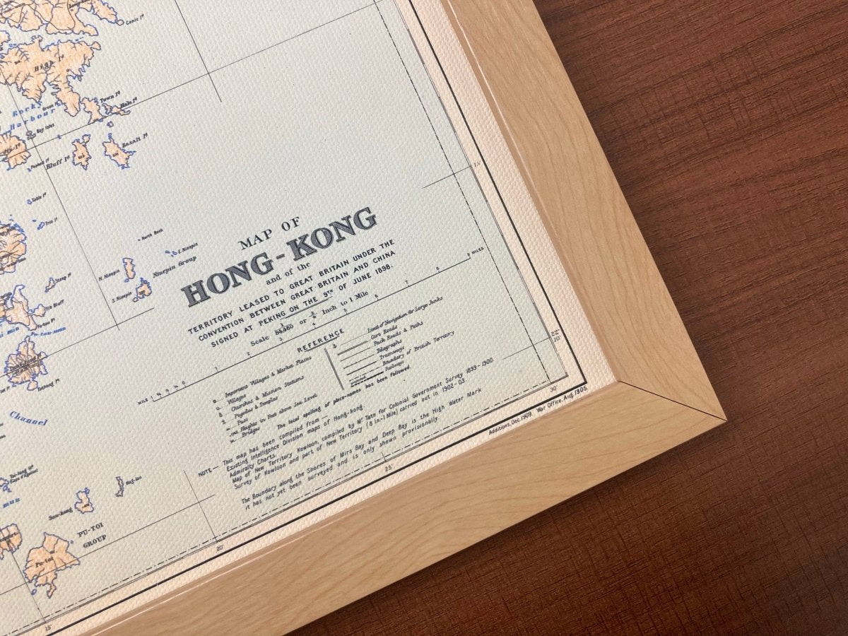
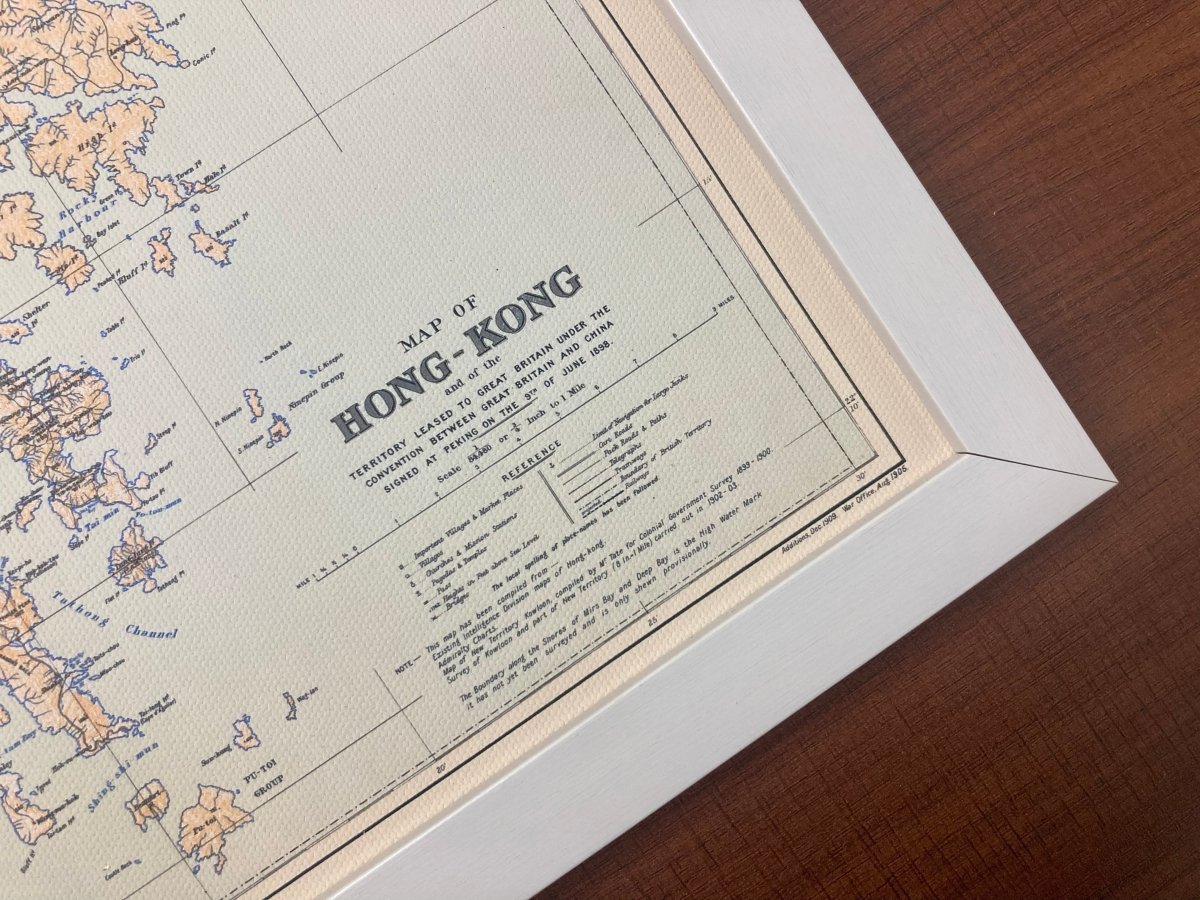
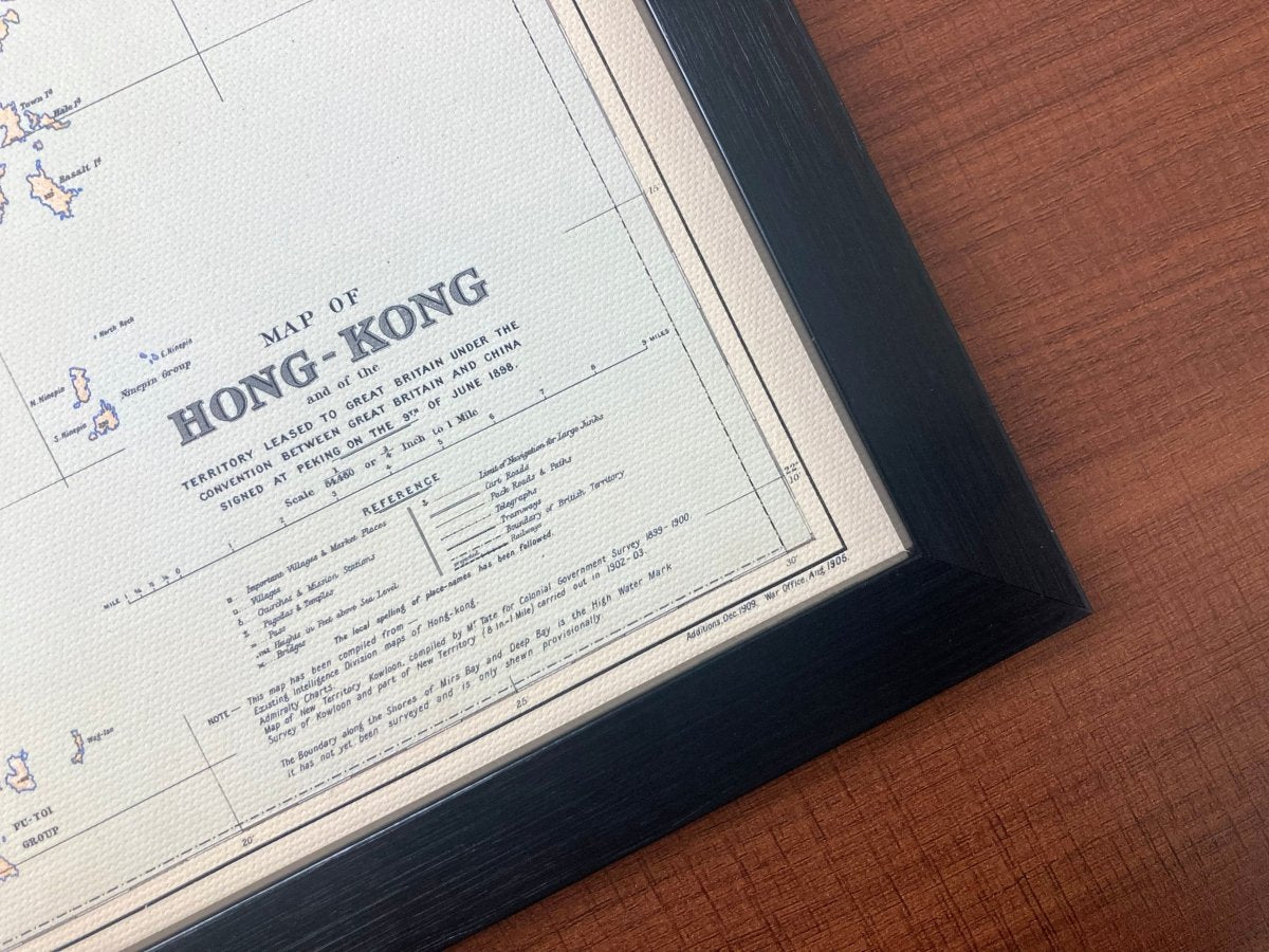
1924 Hong Kong Remake Map on Canvas
1924 Hong Kong Remake Map on Canvas
Couldn't load pickup availability
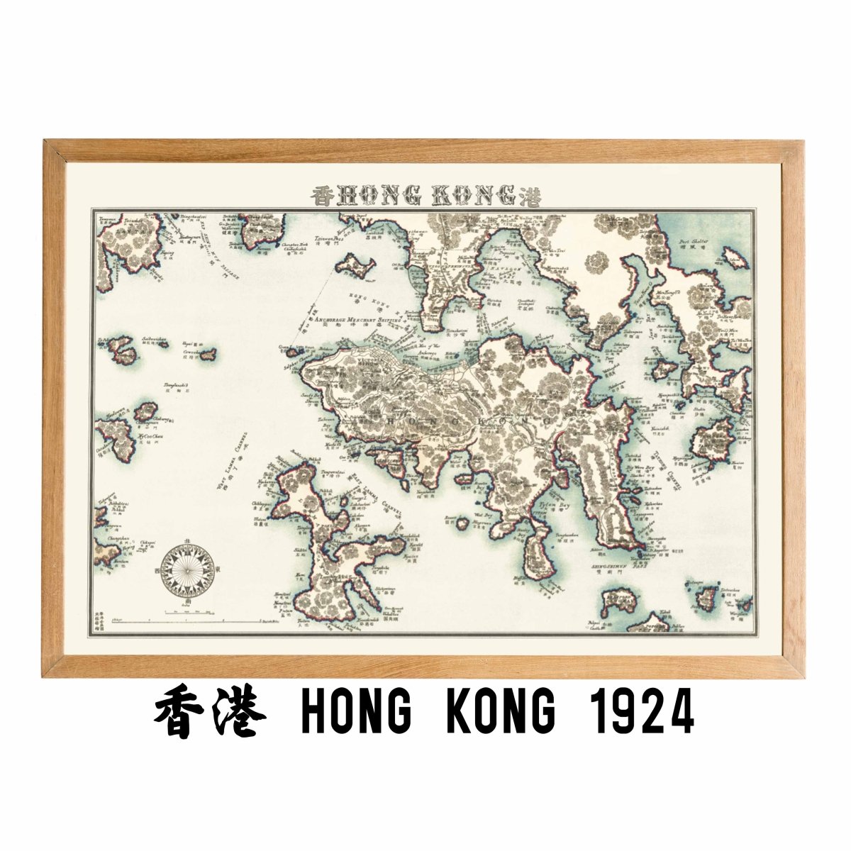
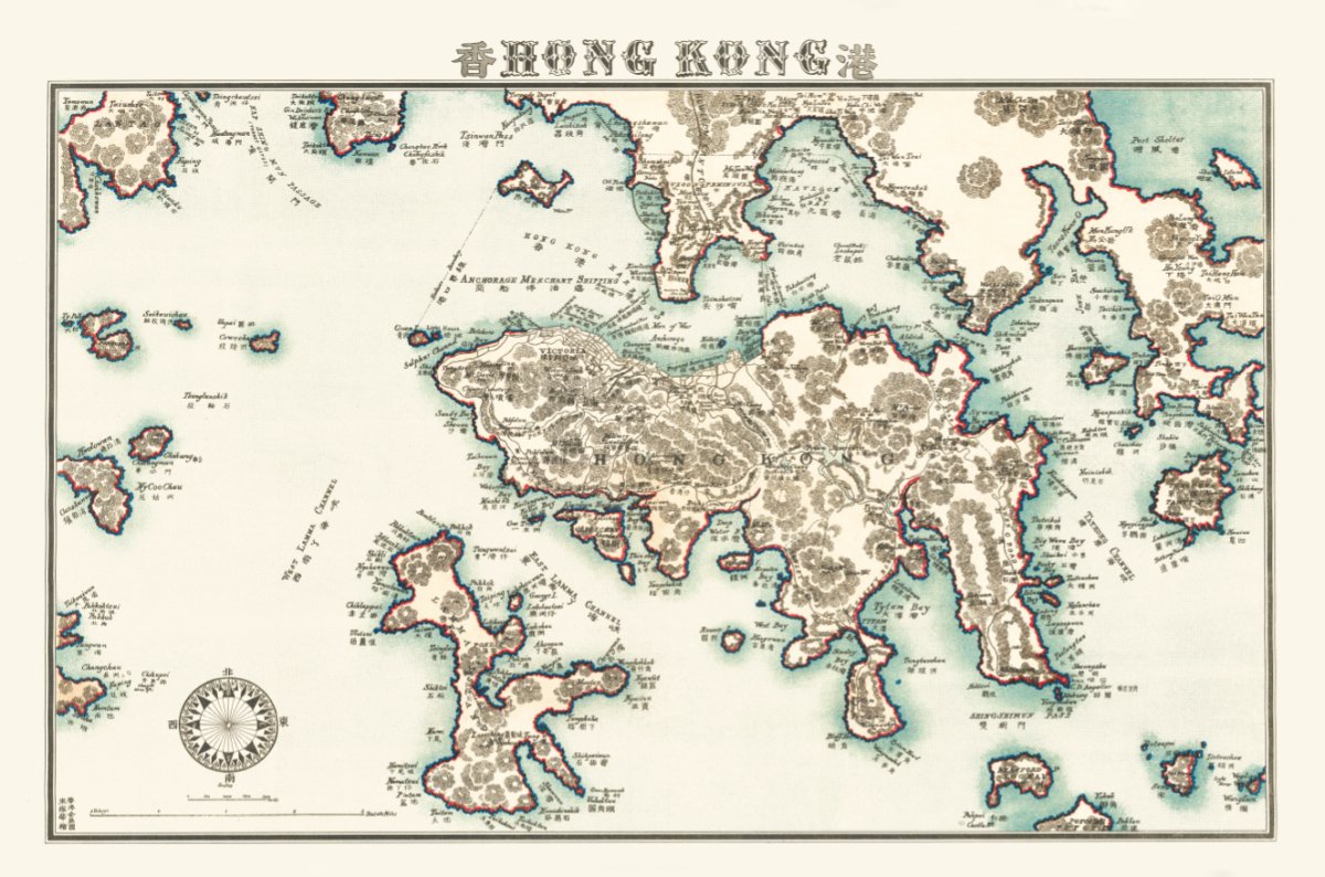
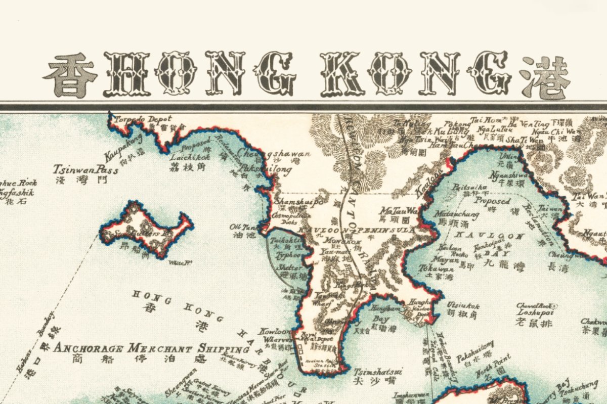
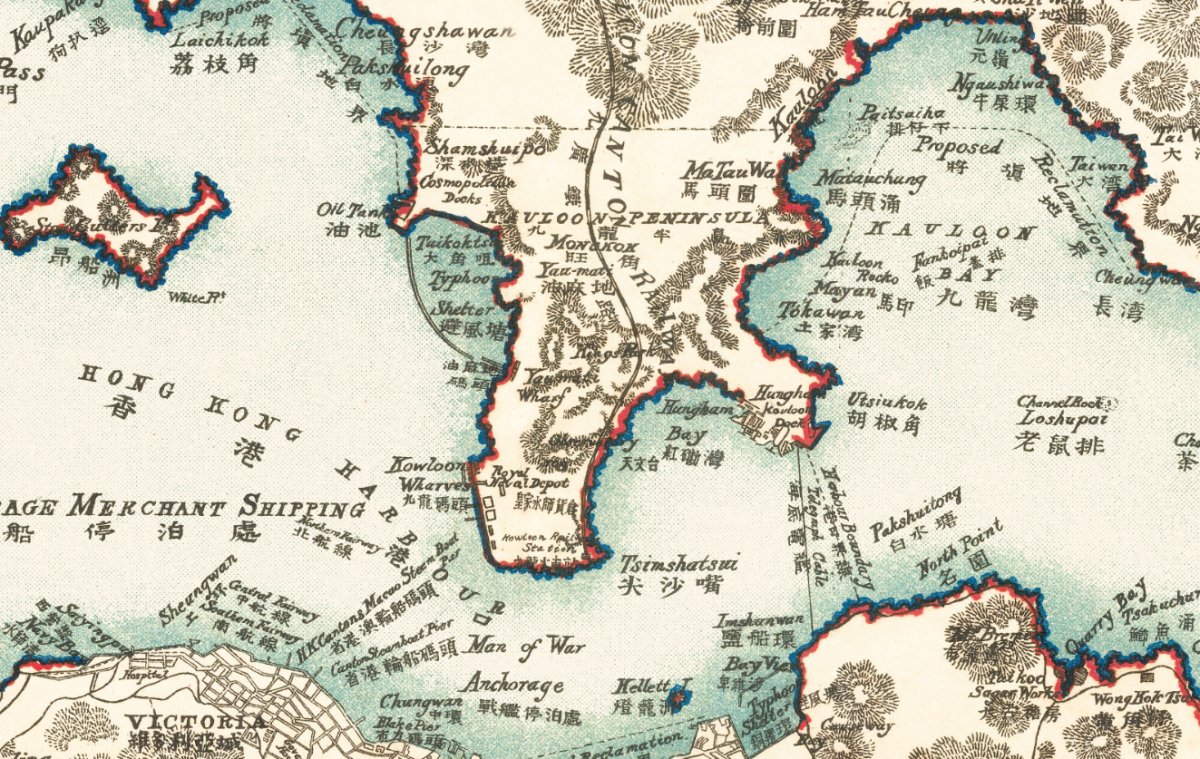
Kowloon in 1924: streets taking shape at Kai Tak, Kowloon Tong, Yau Ma Tei and Tsim Sha Tsui, while the island opposite was already a built-up city.
Old maps of the island are easy to find; Kowloon sheets of the same years are not, so the two shores are hard to compare.
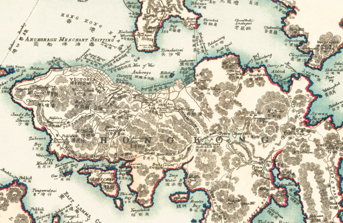
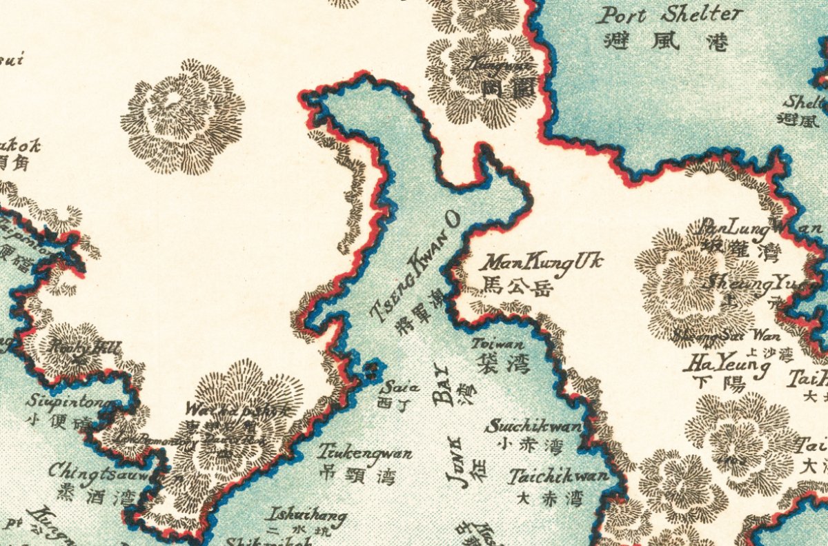
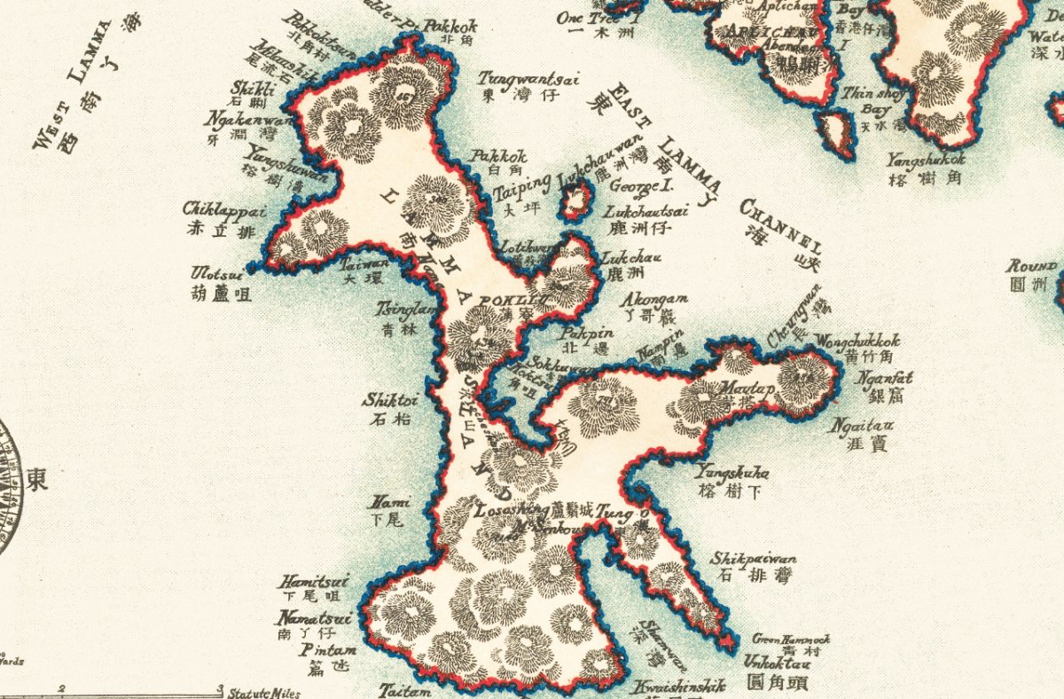
This 1924 map sets Hong Kong Island and Kowloon side by side.
The beginnings of streets at Kai Tak, Kowloon Tong, Yau Ma Tei and Tsim Sha Tsui are laid out against the settled city on the north shore; the Kowloon-Canton Railway had been running since 1910, and the growth along it shows on the sheet. This is a restored reprint; the printed size differs from the original.
- Material: canvas print, digitally restored (spots removed, losses repaired, colours rebuilt)
- Sizes: A4 21 x 30 cm, 30 x 40 cm, 50 x 70 cm, 60 x 90 cm
- Frame: optional, sold separately
Want the background to this map? Further reading: 1898, 1905, 1909: Why One Hong Kong Map Carries Three Dates — a close reading of the place names, scales and dates on the sheet.
Delivery to Hong Kong and overseas; allow 3 to 14 days for packing and posting. Pick your size and order, and add a frame if you want one.