HongKongMaper
1890 Hong Kong Remake Map on Canvas
1890 Hong Kong Remake Map on Canvas
Couldn't load pickup availability
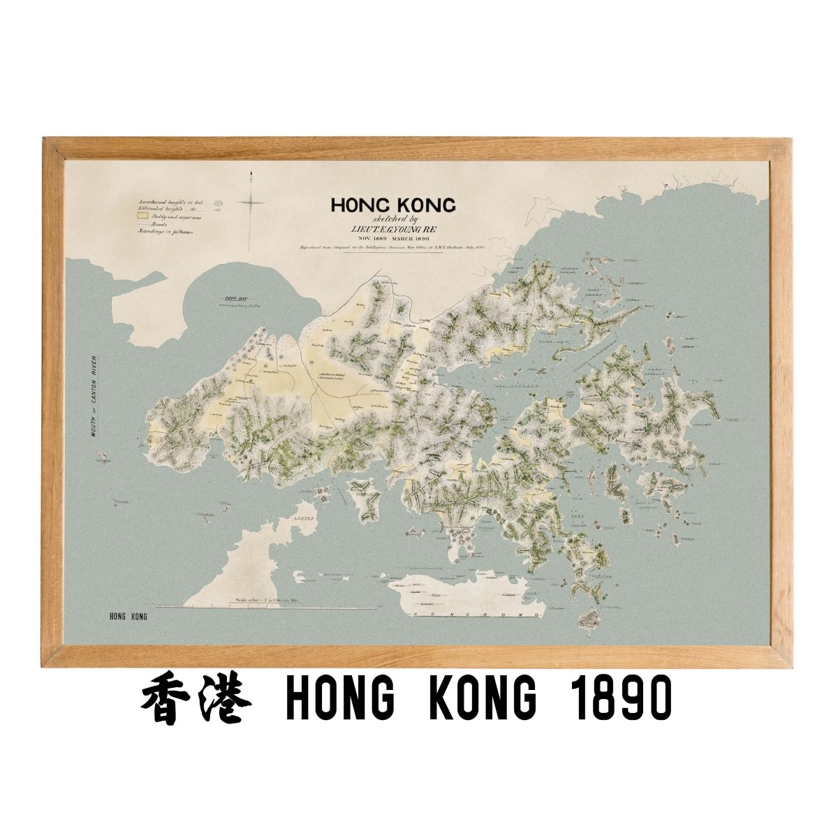
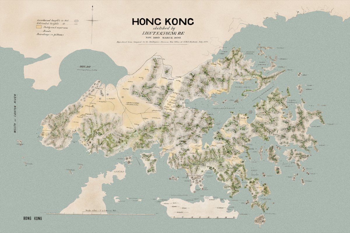
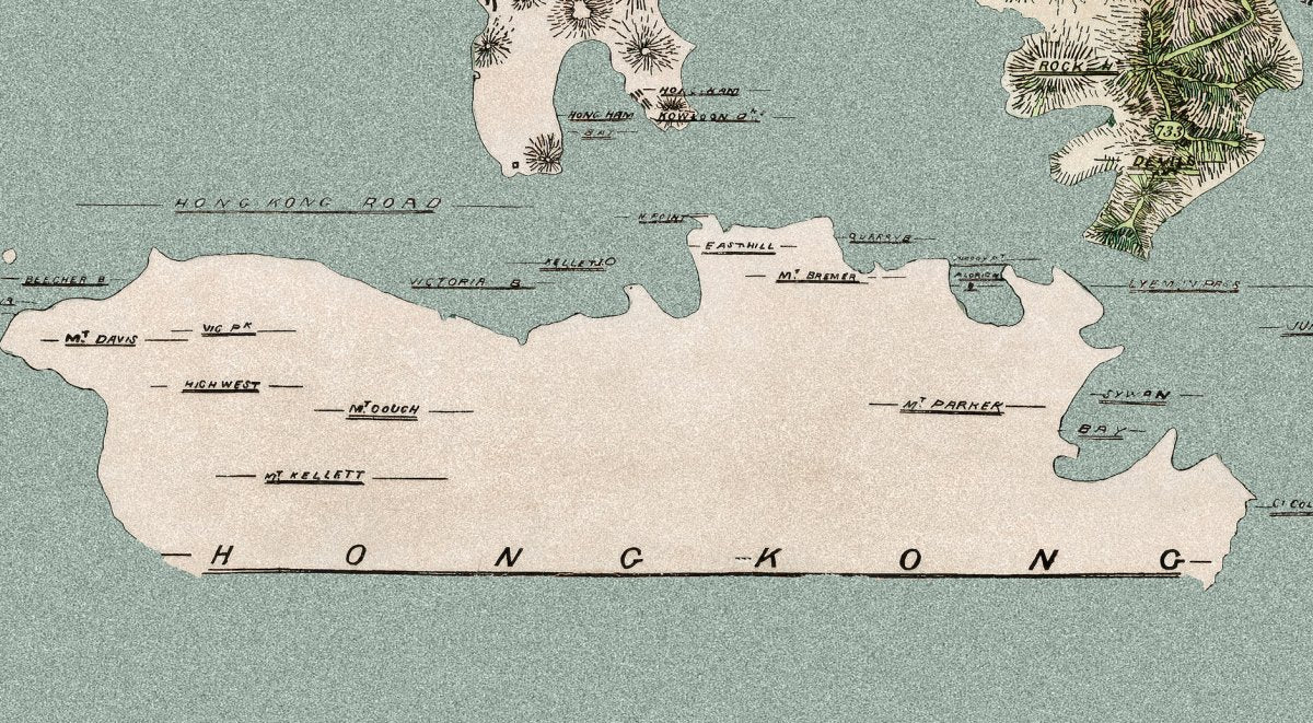
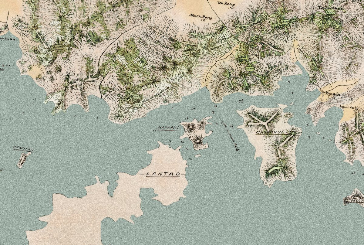
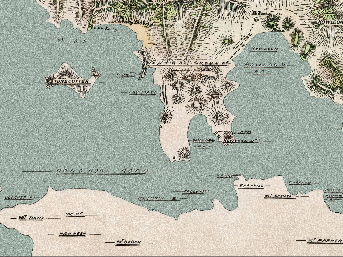
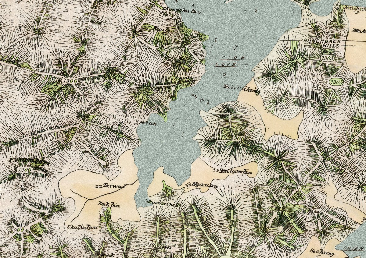
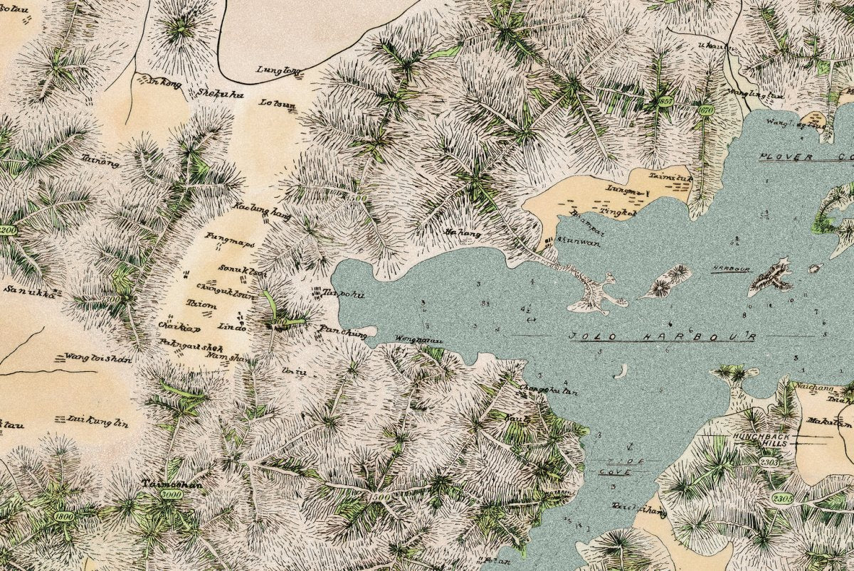
The whole territory in 1890: Hong Kong Island, Kowloon and the villages and coastline of the New Territories, drawn before the lease.
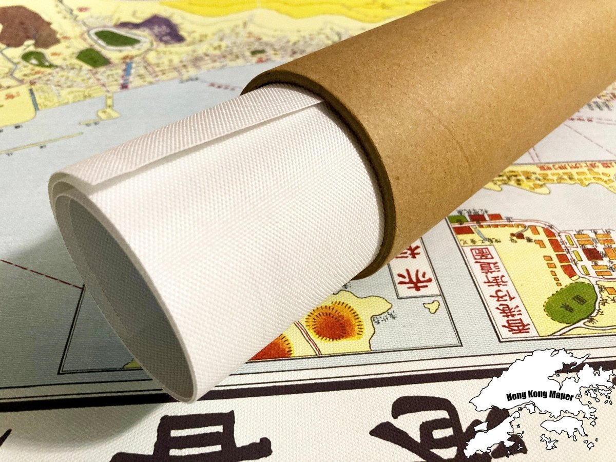
- Material: canvas print, digitally restored (spots removed, losses repaired, colours rebuilt)
- Sizes: A4 21 x 30 cm, 30 x 40 cm, 50 x 70 cm, 60 x 90 cm
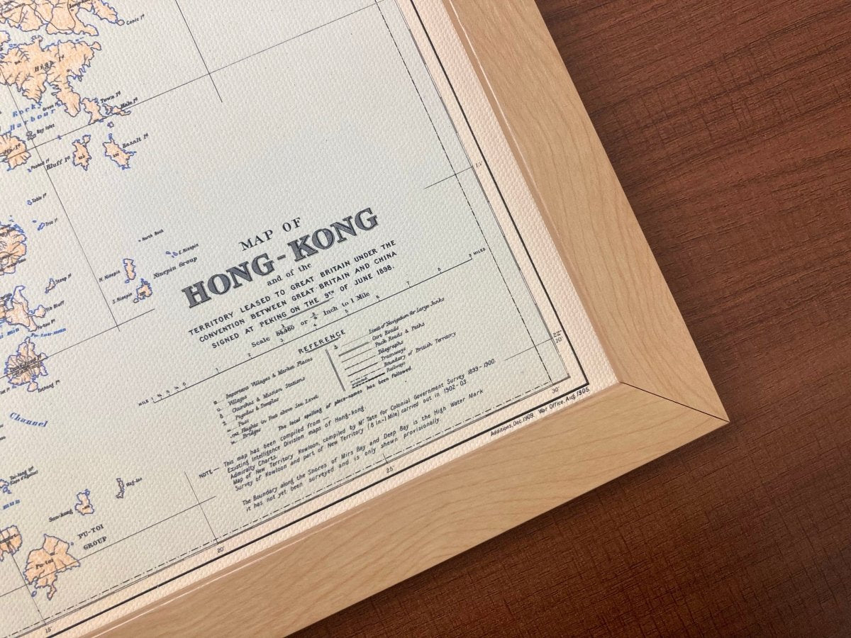
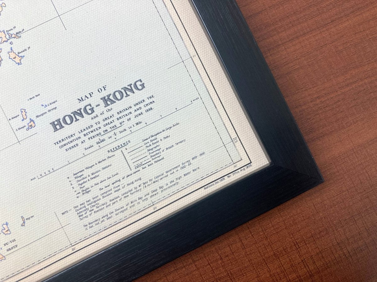
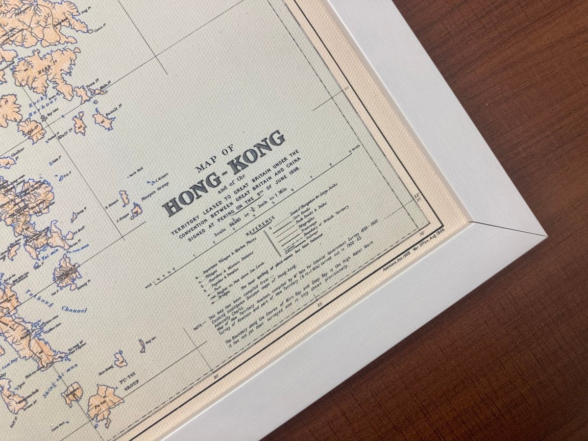
- Frame: optional wooden frame, sold separately
Suits a living room, study or office wall, and makes a gift for anyone with a Hong Kong story.
Images are for reference; the print is a high-resolution restored reproduction, not the original map.
Allow 3 to 14 days for us to prepare, pack and hand the parcel to the postal service. Delivery to Hong Kong and overseas.
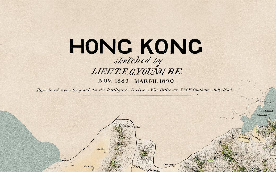
About this 1890 map: at the time the New Territories were still administered by Xin'an County under the Qing; the lease to Britain came in 1898. The villages and coastline on this sheet therefore show the district as it stood before the lease, which makes it useful for anyone studying how New Territories villages changed afterwards.