

HongKongMaper
1935 Remake Map of Hong Kong on Canvas
1935 Remake Map of Hong Kong on Canvas
Couldn't load pickup availability
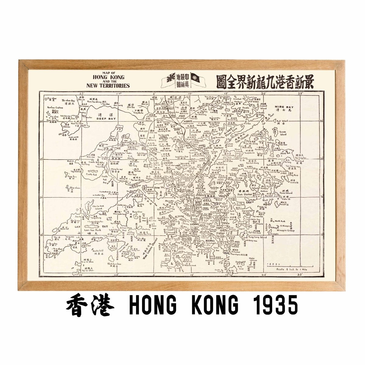
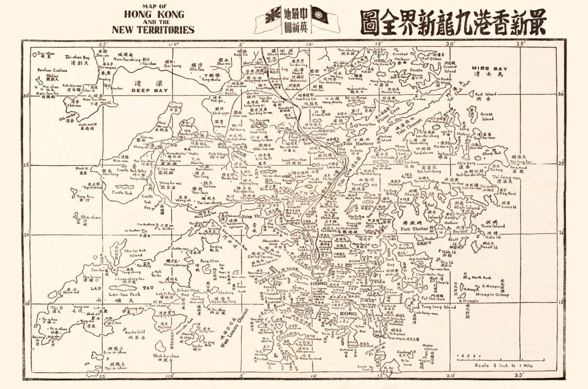
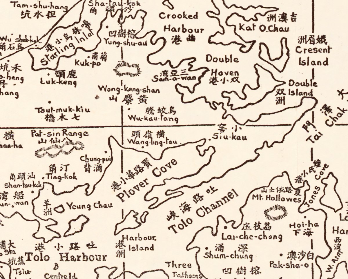
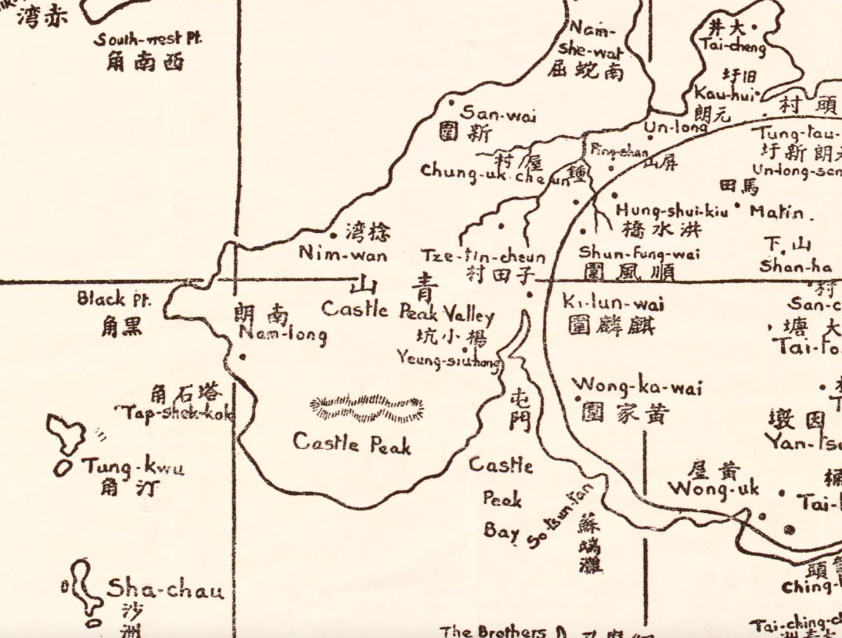
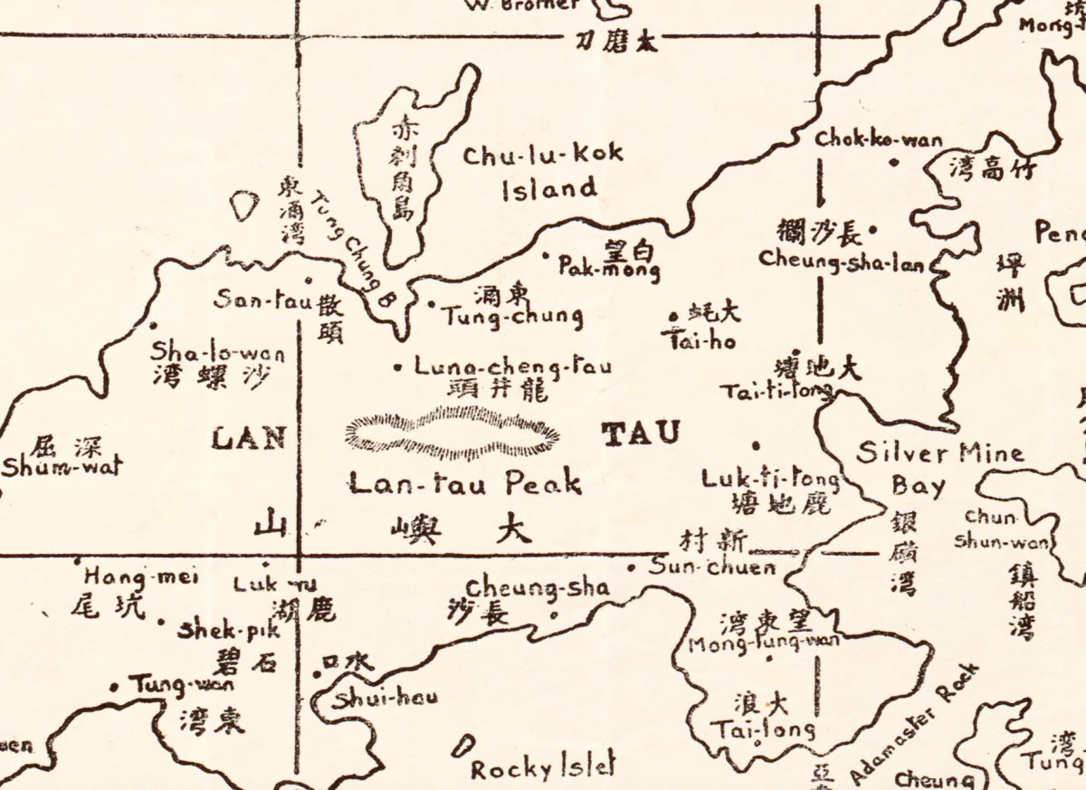
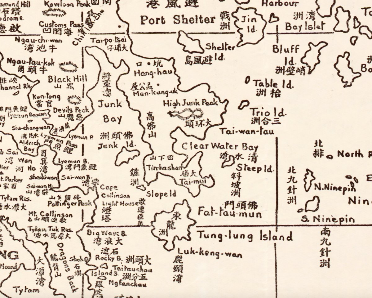
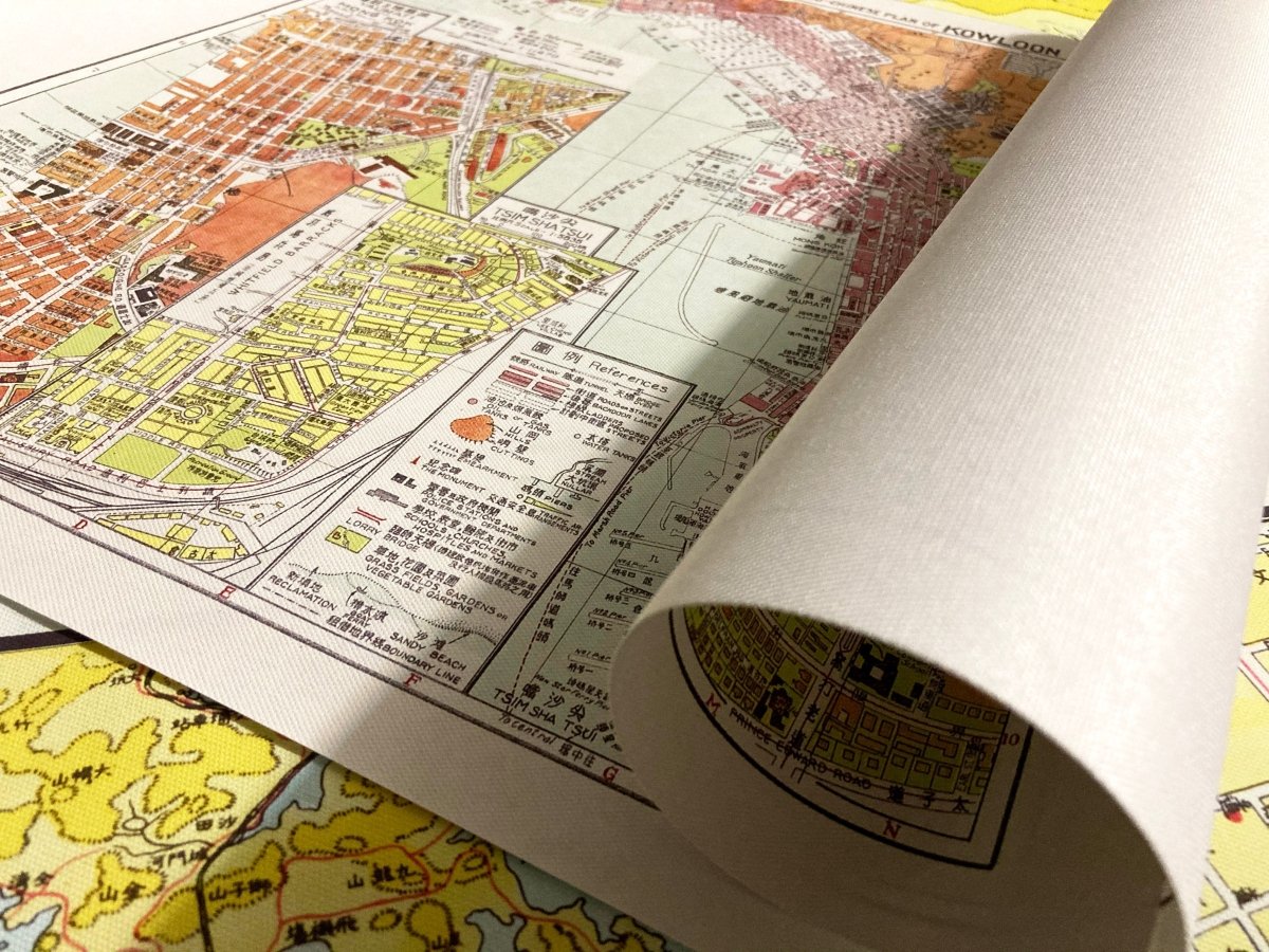
Pre-war Hong Kong: island, Kowloon and New Territories on one sheet. A record of the city in its last full generation before the war.
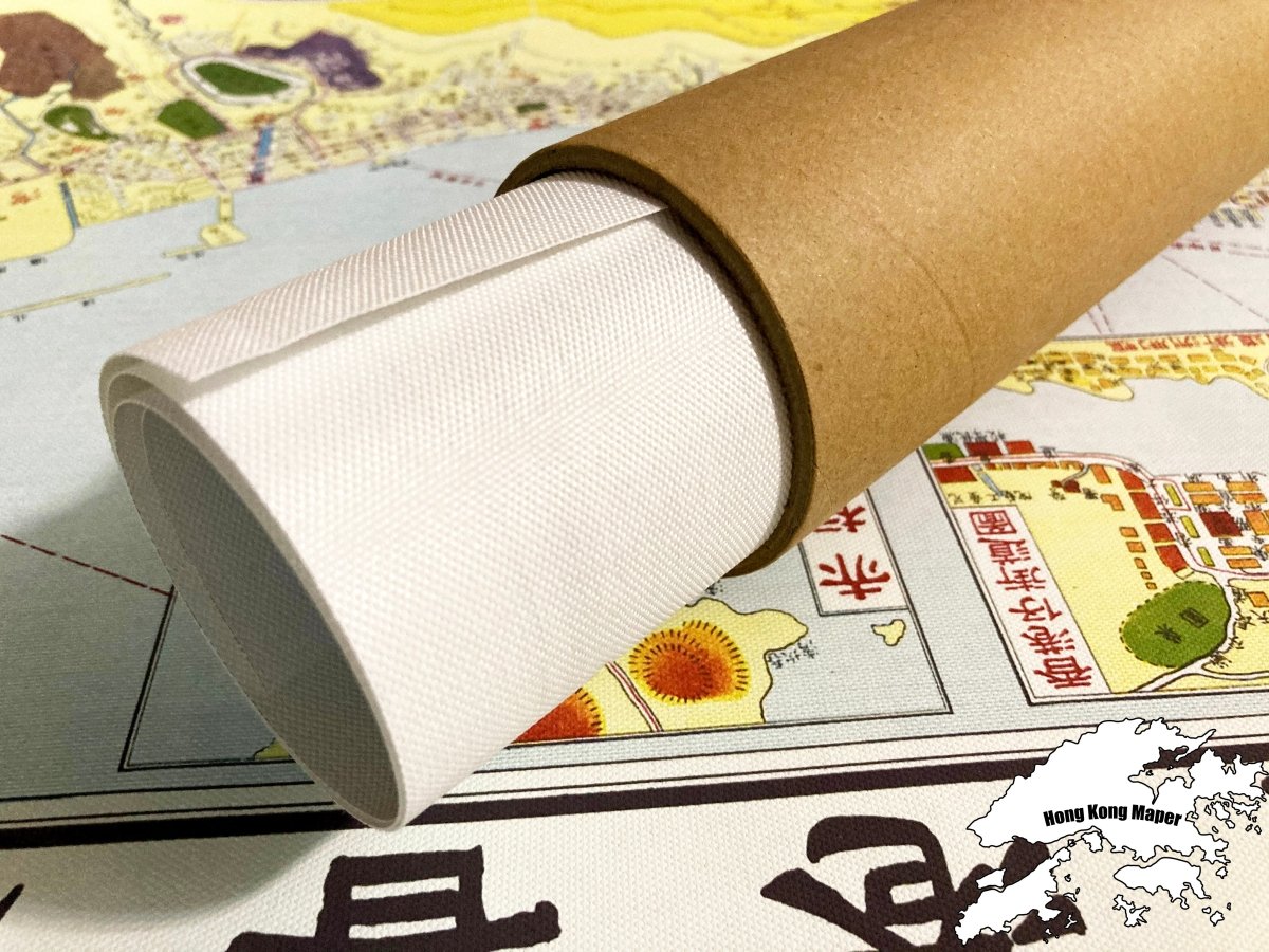
- Material: canvas print, digitally restored (spots removed, losses repaired, colours rebuilt)
- Sizes: A4 21 x 30 cm, 30 x 40 cm, 50 x 70 cm, 60 x 90 cm
- Frame: optional wooden frame, sold separately
Suits a wall at home, at work, or a study where old Hong Kong is the subject.
Images are for reference; the print is a high-resolution restored reproduction, not the original map.
Allow 3 to 14 days for us to prepare, pack and hand the parcel to the postal service. Delivery to Hong Kong and overseas.
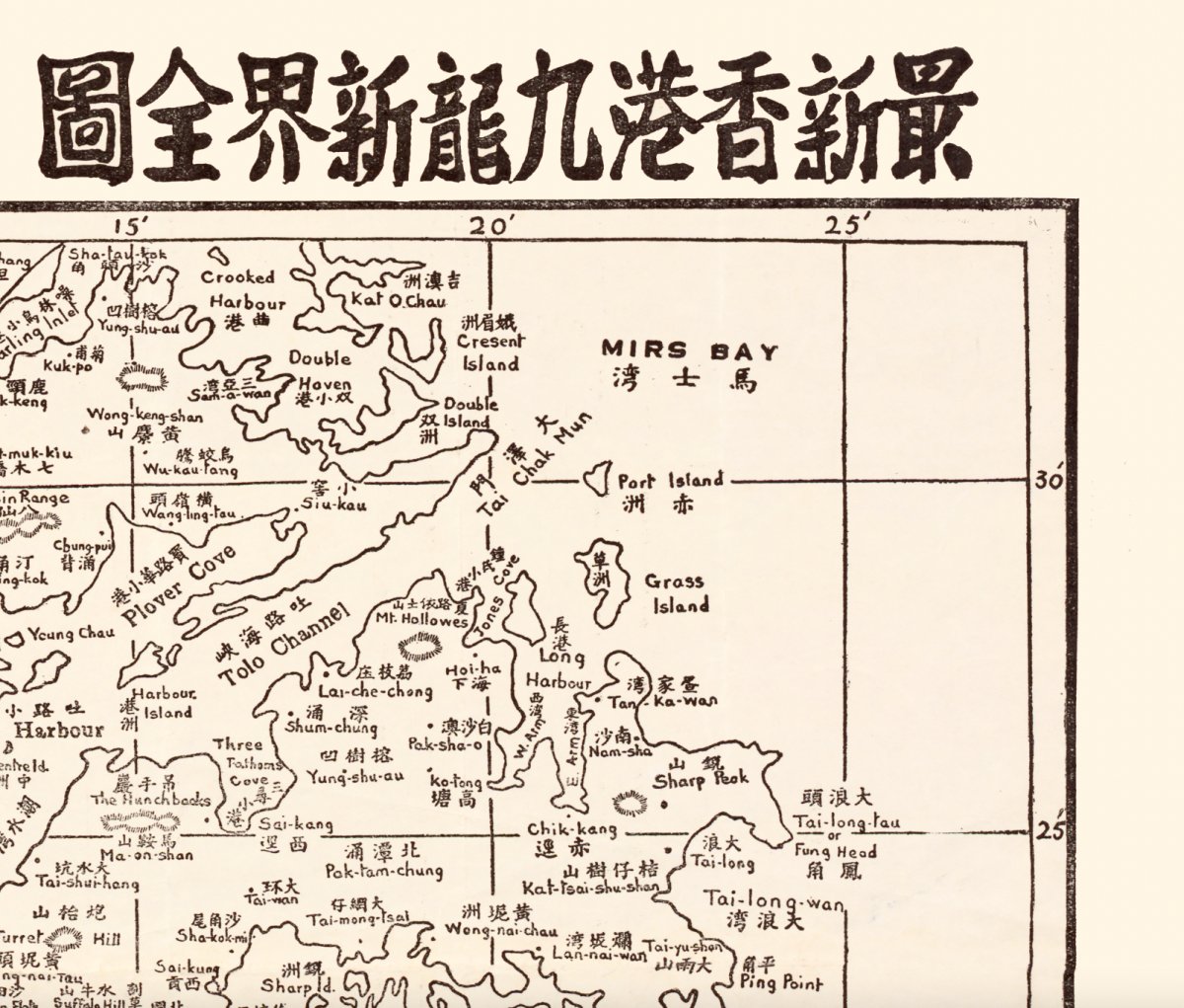
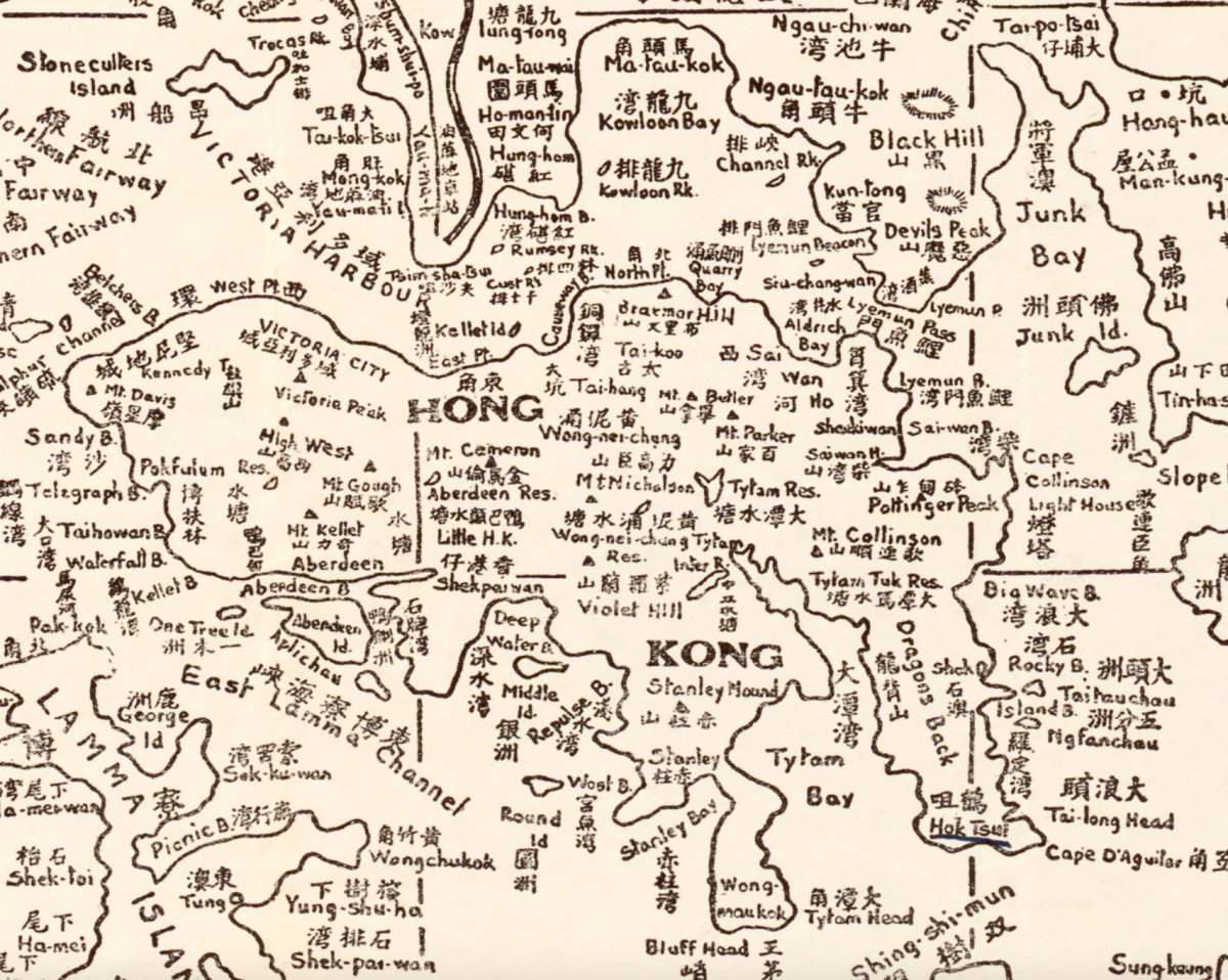
About this 1935 map: the sheet shows the roads, railway and villages of Hong Kong, Kowloon and the New Territories in 1935. Within a few years the city entered the Japanese occupation and its shape changed sharply, which makes this map one of the clearest records of pre-war Hong Kong.
