HongKongMaper
1860 Hong Kong Isladn and Kowloon Remake Map on Canvas
1860 Hong Kong Isladn and Kowloon Remake Map on Canvas
Couldn't load pickup availability
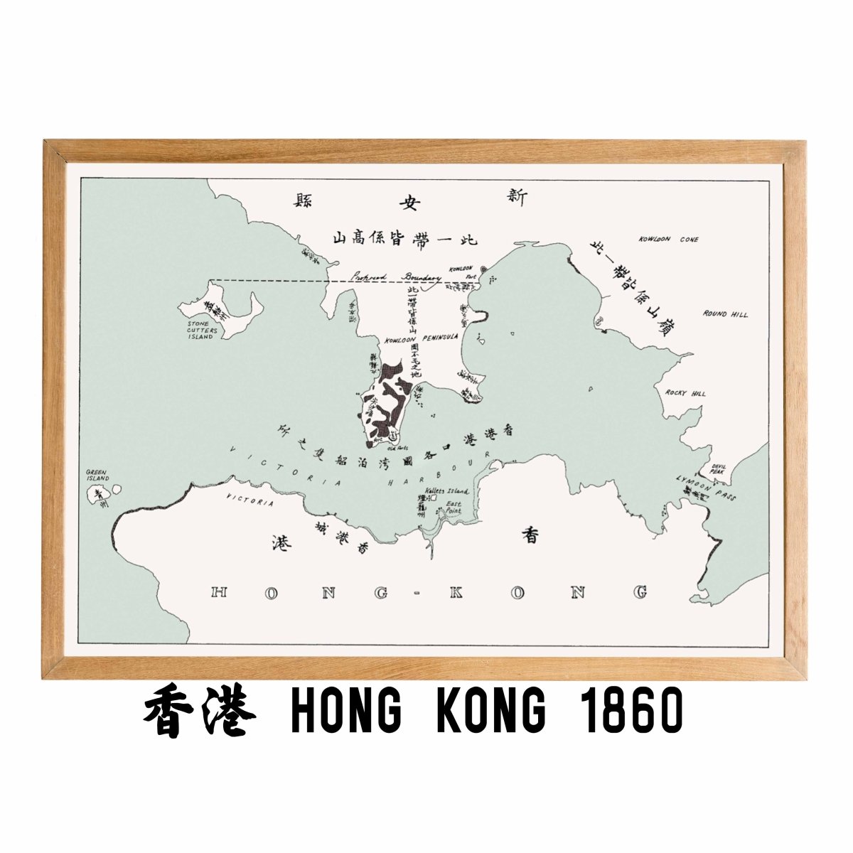
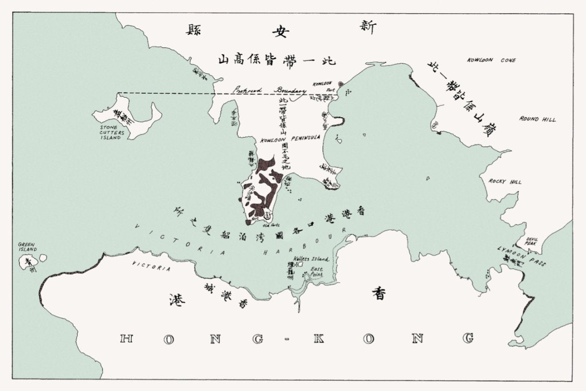
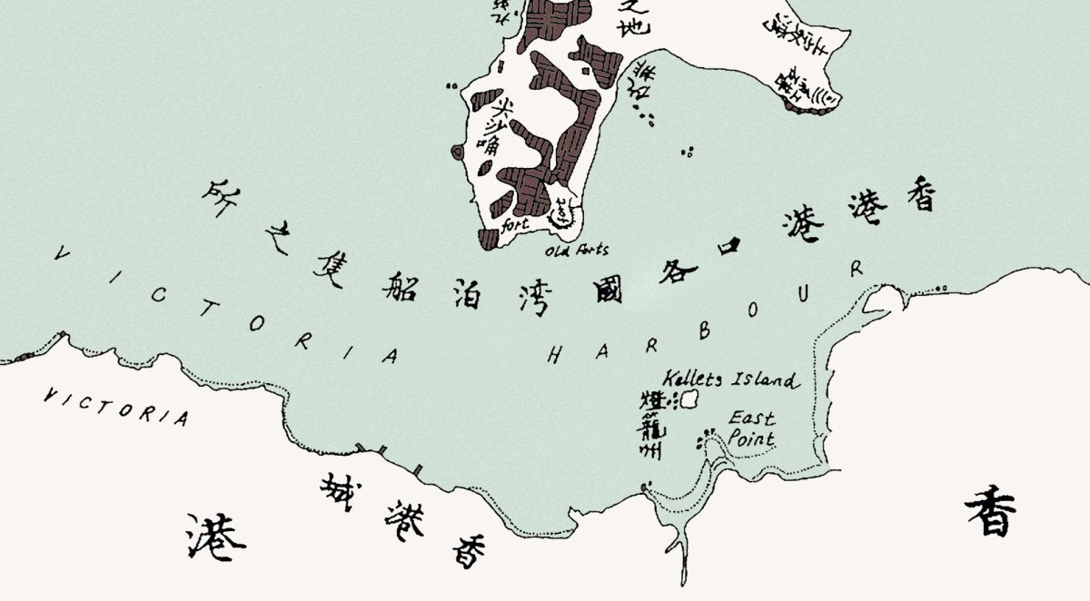
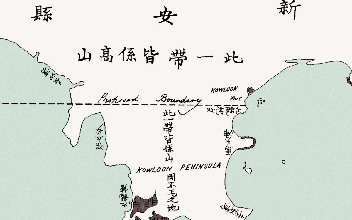
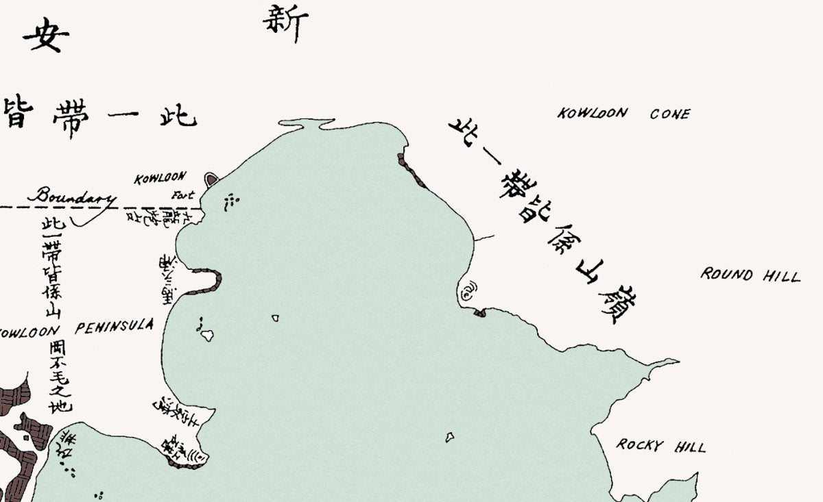
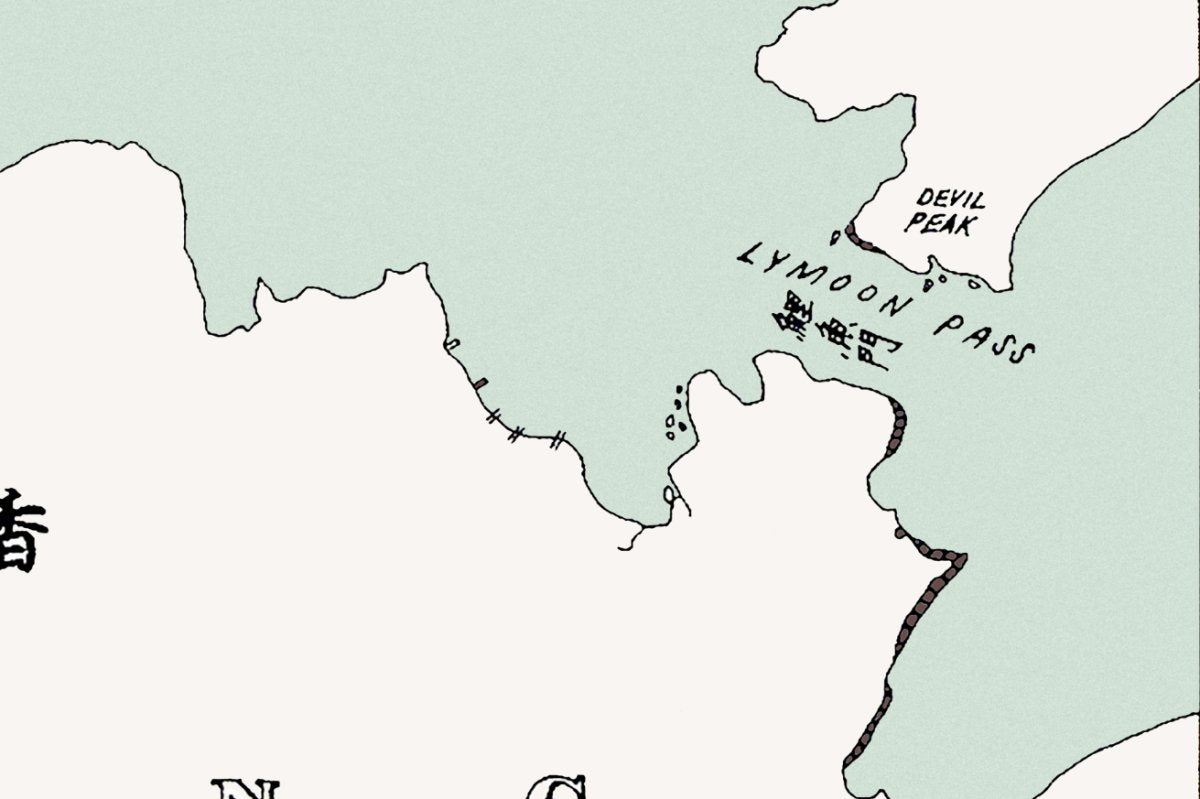
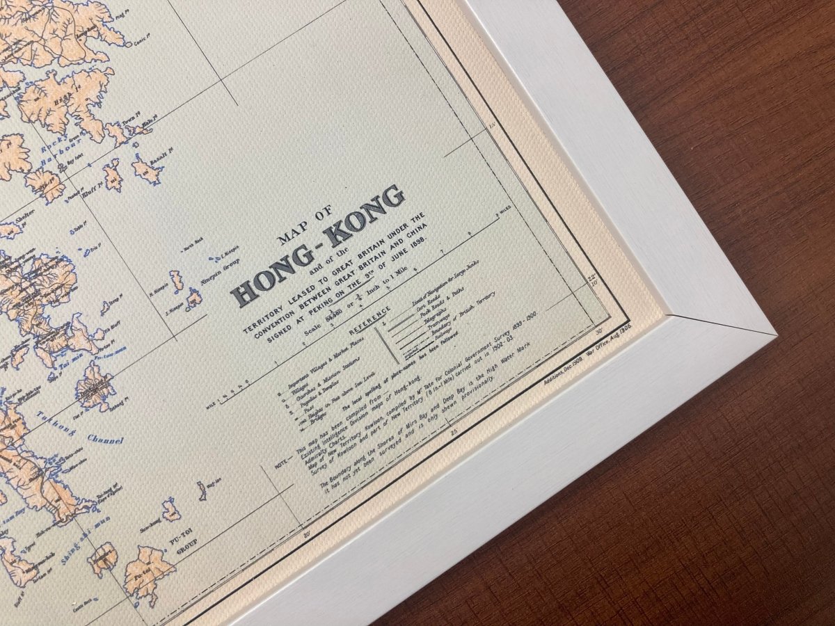
An 1860 map of San On county, Hong Kong Island and Kowloon, printed in the year Kowloon was ceded, with the new boundary on the sheet.
- Material: canvas print, digitally restored (spots removed, losses repaired, colours rebuilt)
- Sizes: A4 21 x 30 cm, 30 x 40 cm, 50 x 70 cm, 60 x 90 cm
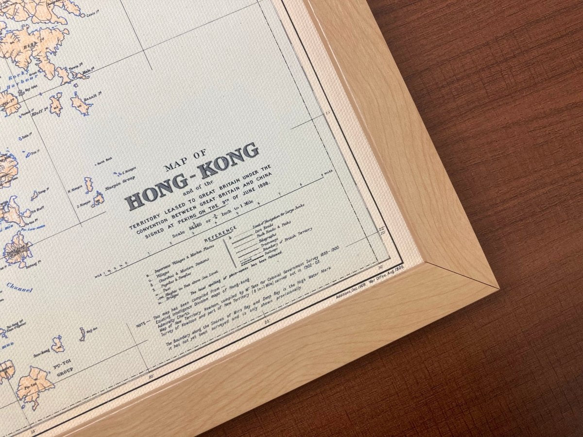
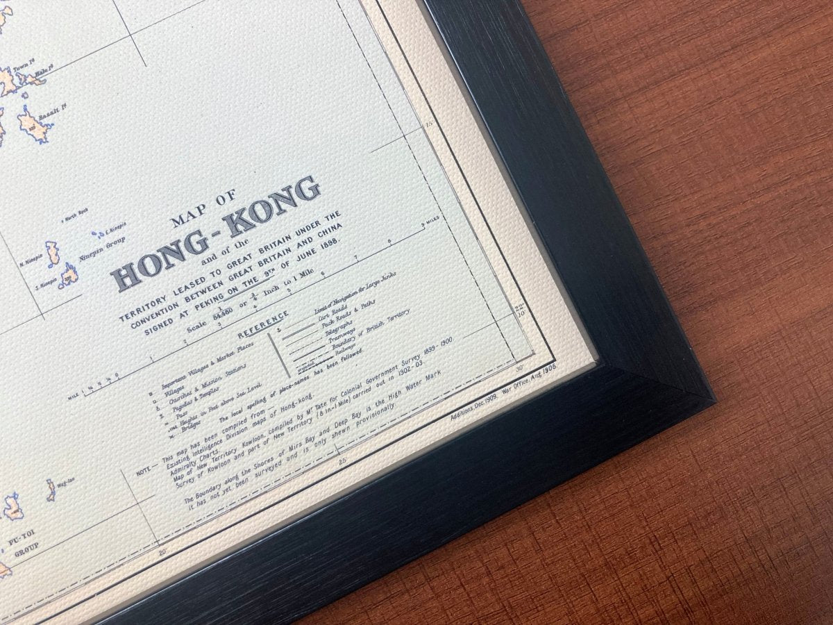
- Frame: optional wooden frame, sold separately
A good match for the 1841 or 1866 sheets if you are building a set.
Images are for reference; the print is a high-resolution restored reproduction, not the original map.
Allow 3 to 14 days for us to prepare, pack and hand the parcel to the postal service. Delivery to Hong Kong and overseas.
About this 1860 map: under the Convention of Peking that year, the Kowloon peninsula south of Boundary Street was ceded to Britain, and Hong Kong's territory crossed Victoria Harbour for the first time. This sheet shows the island and Kowloon together, at the moment they became one colony.