HongKongMaper
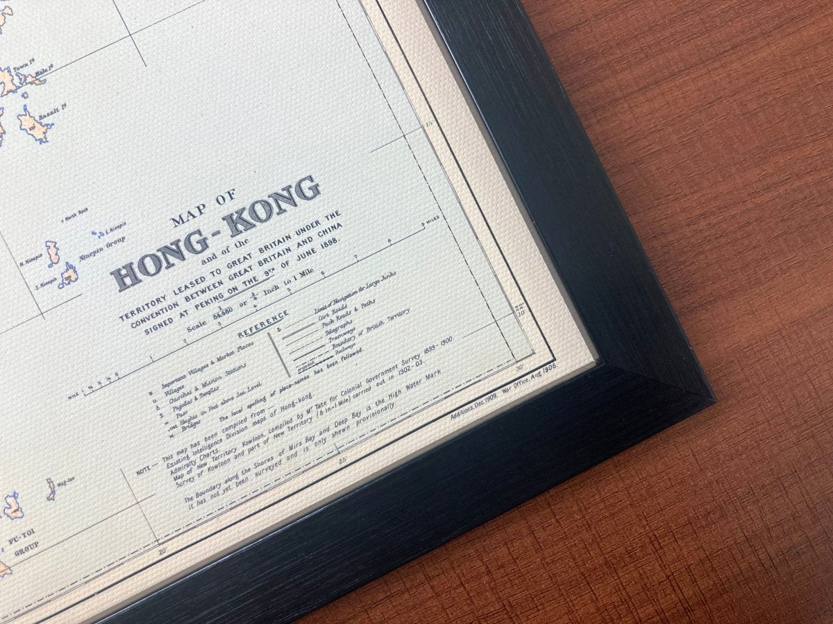
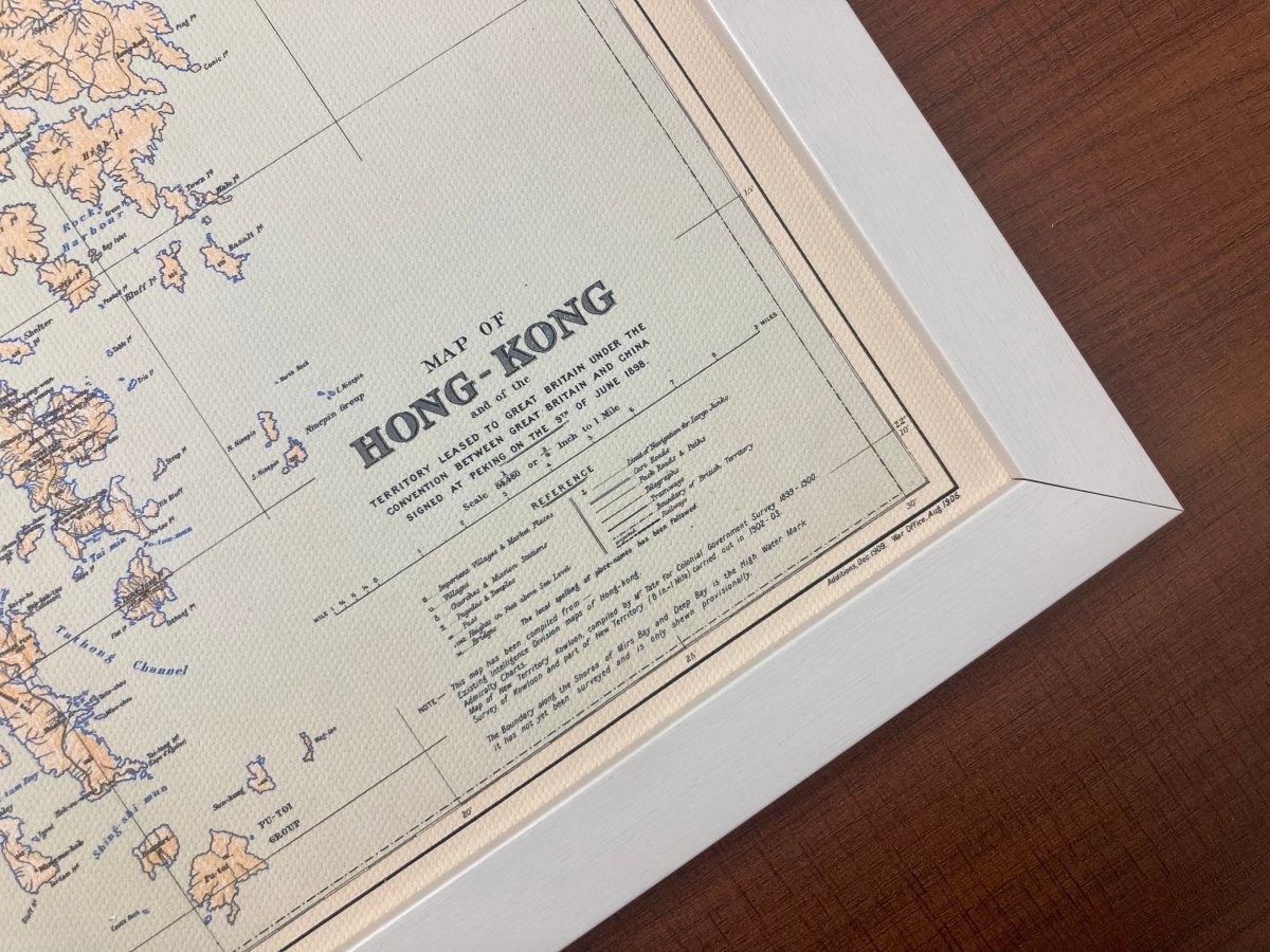
1845 Hong Kong Remake Map on Canvas
1845 Hong Kong Remake Map on Canvas
Couldn't load pickup availability
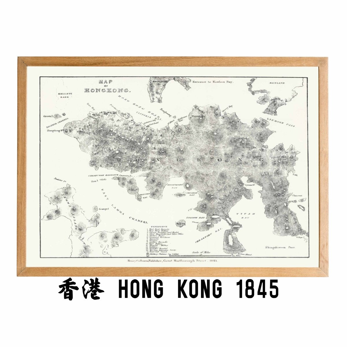
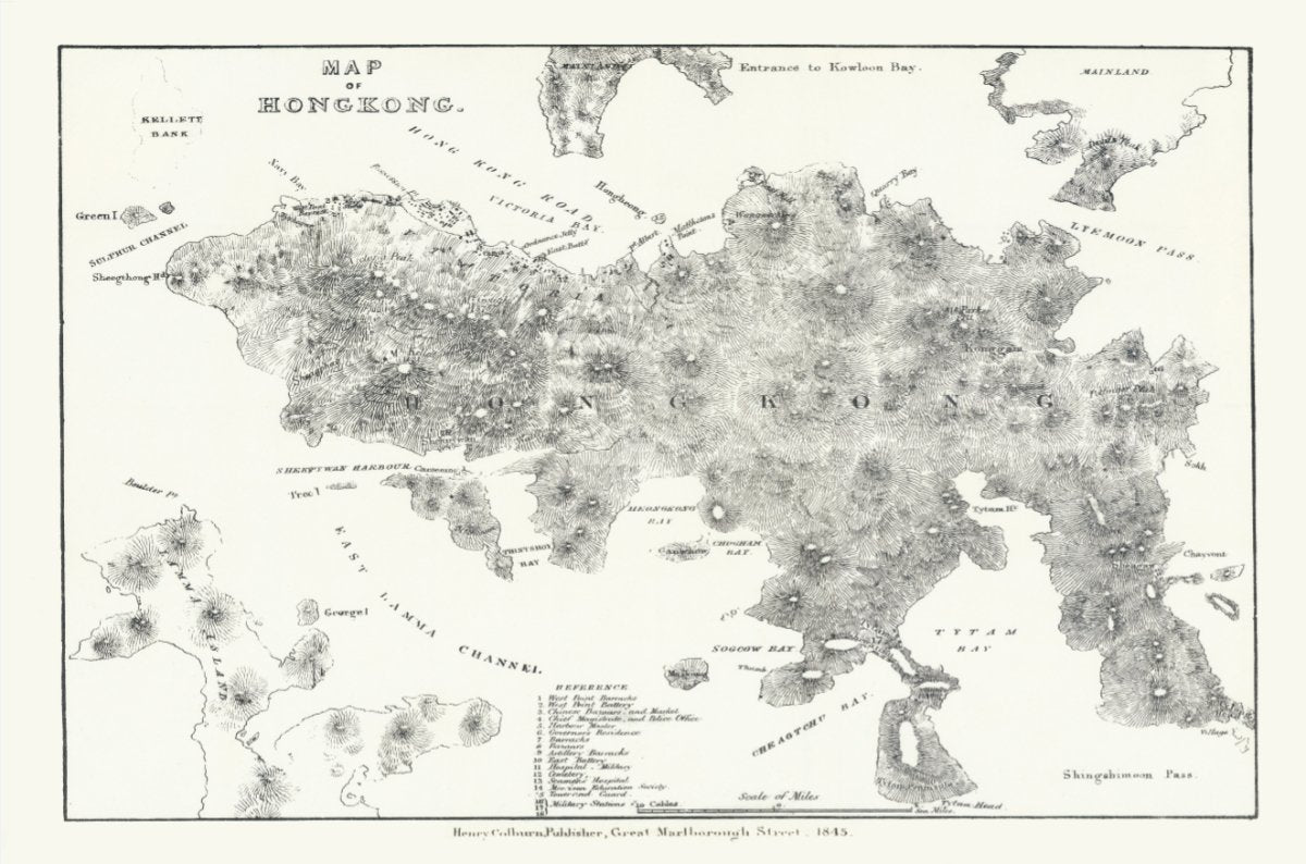
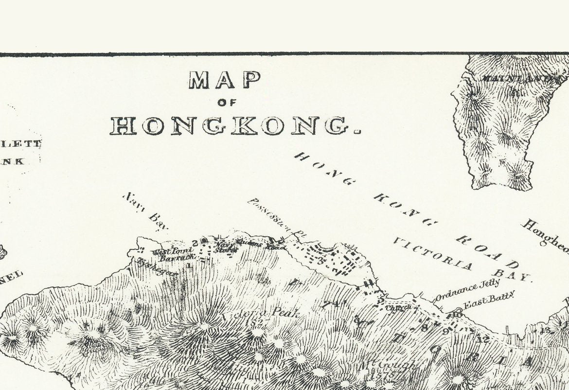
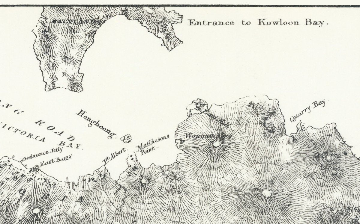
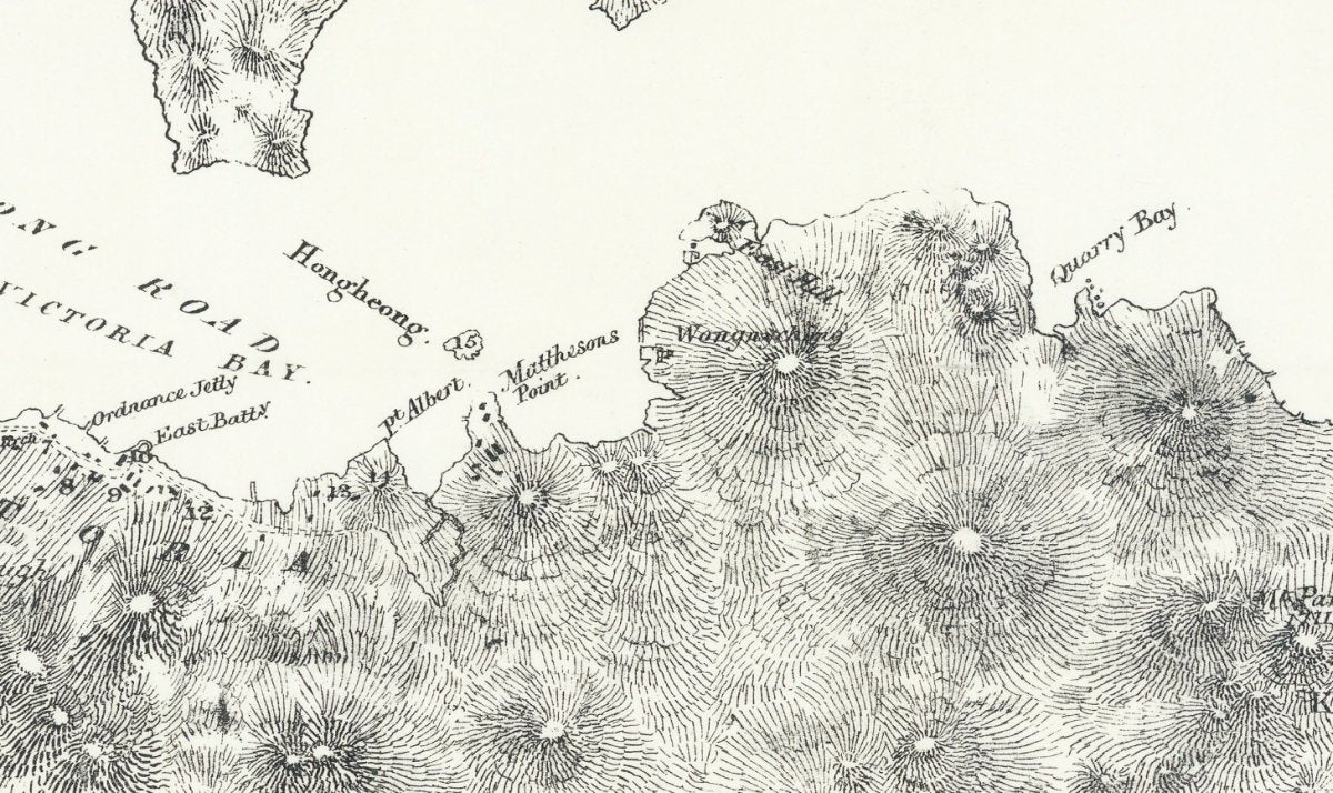
Hong Kong Island in 1845: the town huddled along the shore between today's Central and Sai Ying Pun, piers and godowns at the water's edge.
Most of today's shoreline was built out into the harbour, and the original coast is almost impossible to picture.
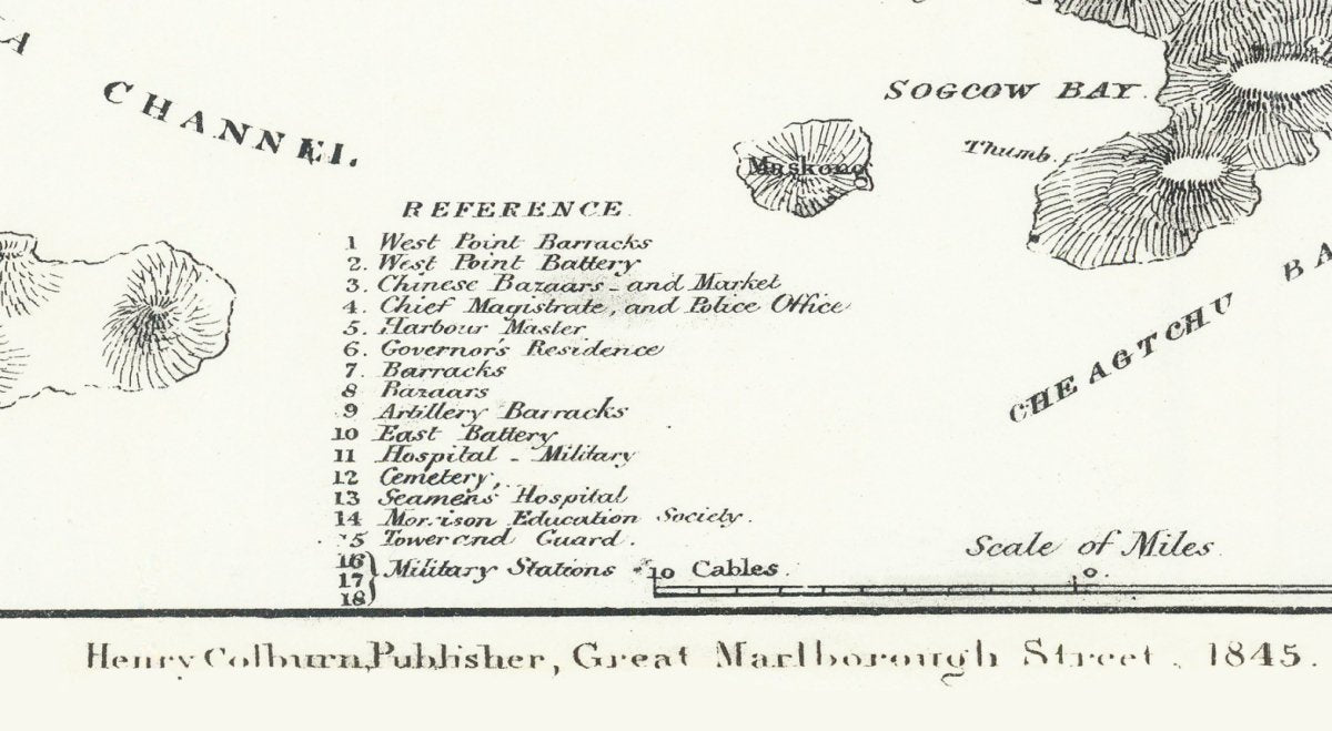
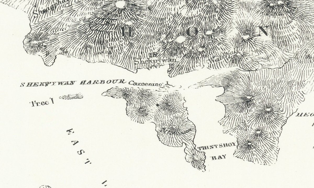
This 1845 map of Hong Kong Island keeps the early street pattern of Victoria City, its piers and the shoreline as it was.
The colony was only a few years old: Hong Kong Island was ceded by the Treaty of Nanking in 1842, the Hong Kong Charter was issued in 1843 and the first governor, Pottinger, took office that year. Building was concentrated between today's Central and Sai Ying Pun, a sharp contrast with the dense towers of the present. This is a restored reprint; the printed size differs from the original.
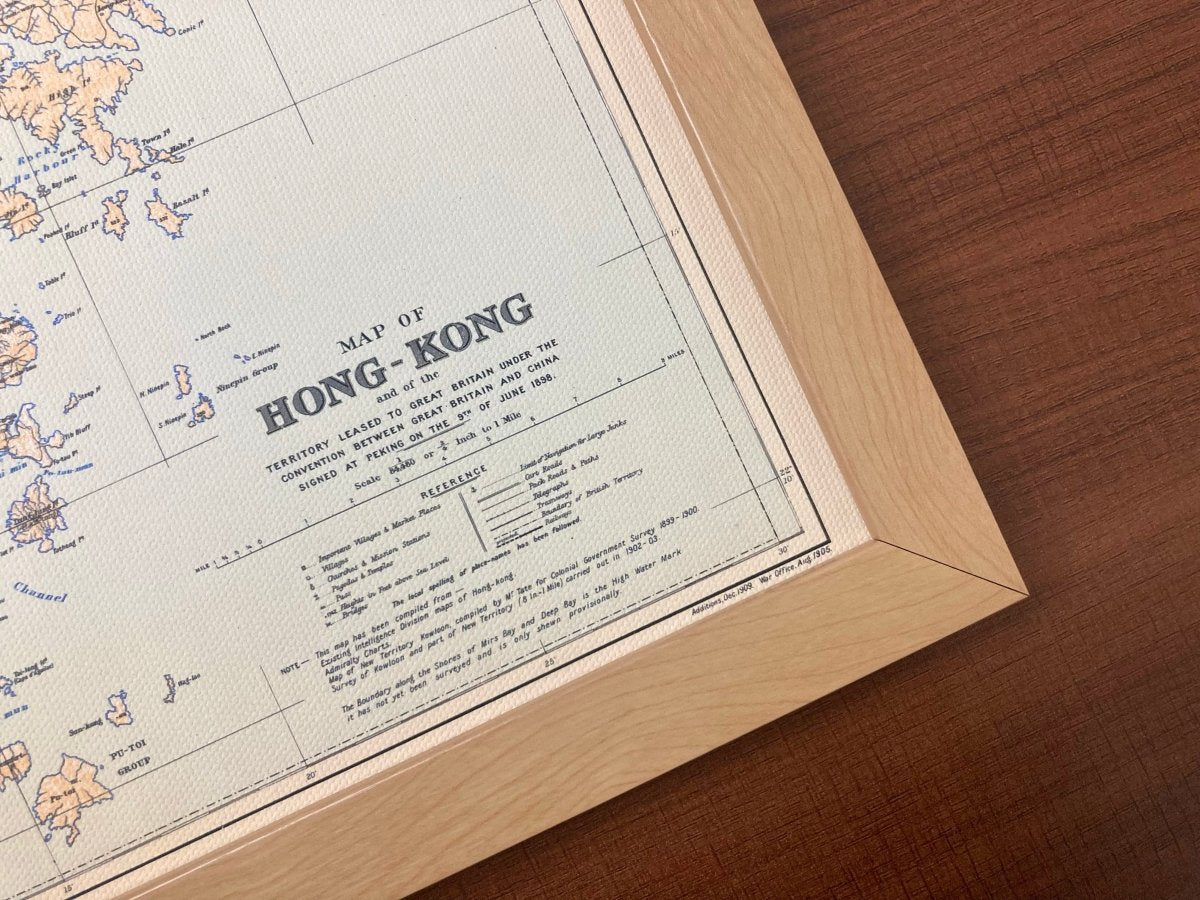
- Material: canvas print, digitally restored (spots removed, losses repaired, colours rebuilt)
- Sizes: A4 21 x 30 cm, 30 x 40 cm, 50 x 70 cm, 60 x 90 cm
- Frame: optional, sold separately
Want the background to this map? Further reading: 1888: The Peak Tram Opens, and the Central Waterfront Before the Reclamation — a close reading of the place names, scales and dates on the sheet.
Delivery to Hong Kong and overseas; allow 3 to 14 days for packing and posting. Pick your size and order, and add a frame if you want one.