HongKongMaper
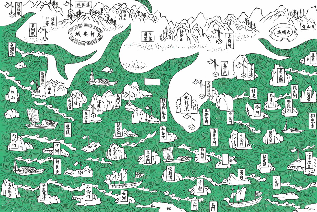
1819 Hong Kong Coastal Defense Remake Map on Canvas
1819 Hong Kong Coastal Defense Remake Map on Canvas
Couldn't load pickup availability
In 1819 Hong Kong Island and Kowloon were still part of Xin'an County; the coastal forts, garrison posts and villages are marked one by one.
Qing coastal defence charts usually stay inside books, too dense to read and impossible to hang.
This chart from the 1819 Xin'an County Gazetteer is drawn county by county, marking forts, garrison posts and villages one by one.
The gazetteer was published in 1819, the twenty-fourth year of the Jiaqing reign. Hong Kong Island and Kowloon were under Xin'an County at the time, and place names such as Stanley appear on the sheet, making it one of the most direct geographical records of the area before 1841. This is a restored reprint; the printed size differs from the original.
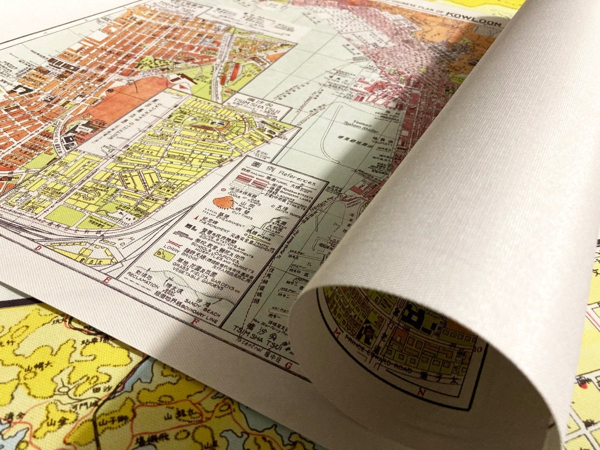
- Material: canvas print, digitally restored
- Sizes: A4 21 x 30 cm, 30 x 40 cm, 50 x 70 cm, 60 x 90 cm
- Frame: optional, sold separately
Want the background to this map? Further reading: 1898, 1905, 1909: Why One Hong Kong Map Carries Three Dates — a close reading of the place names, scales and dates on the sheet.
Delivery to Hong Kong and overseas; allow 3 to 14 days for packing and posting. Pick your size and order, and add a frame if you want one.