HongKongMaper
1860 Hong Kong Isladn and Kowloon Remake Map on Canvas
1860 Hong Kong Isladn and Kowloon Remake Map on Canvas
Couldn't load pickup availability
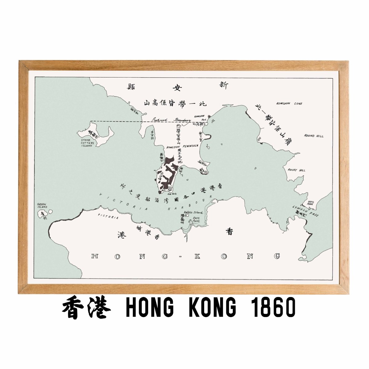
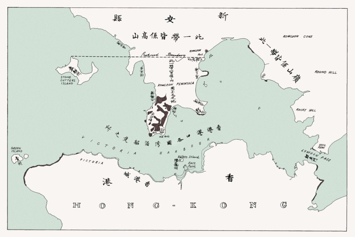
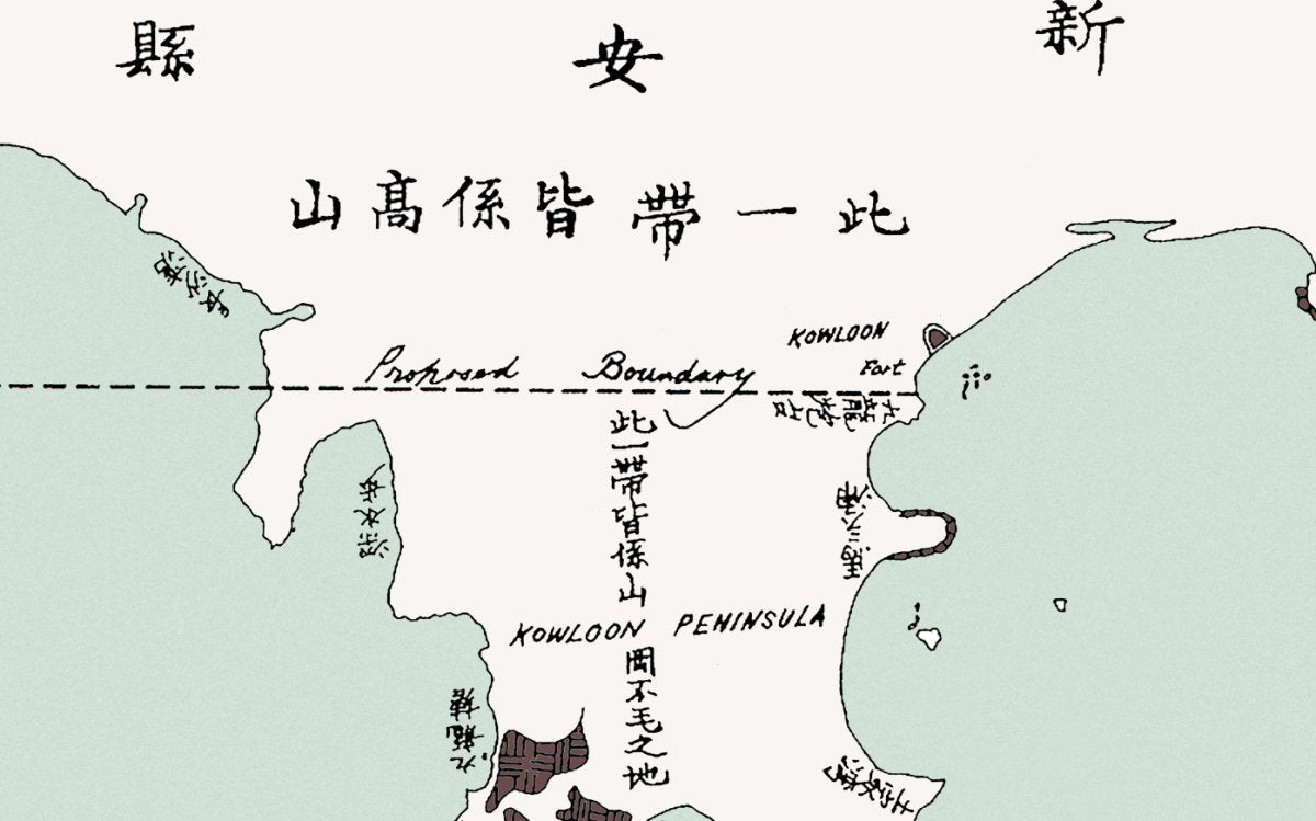
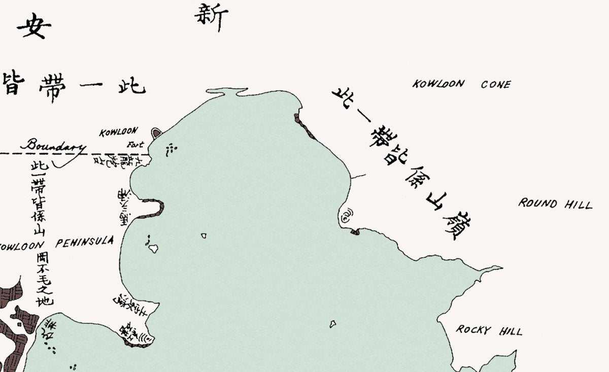
After the Convention of Peking in 1860, the Kowloon peninsula south of Boundary Street became part of Hong Kong, and the territory crossed Victoria Harbour for the first time.
Everyone knows Kowloon was ceded, but where the line ran and how much it covered stays vague in text.
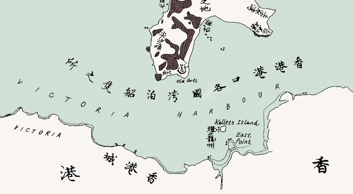
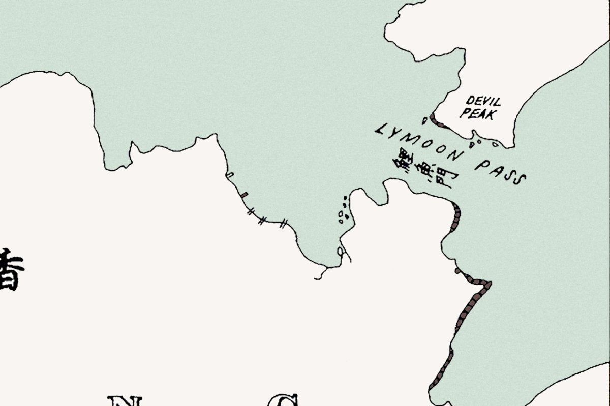
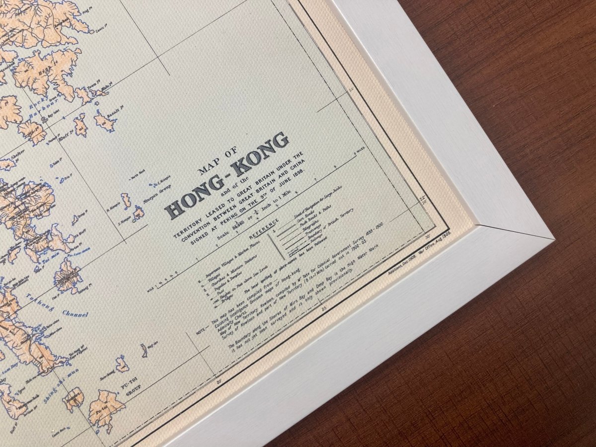
This 1860 map marks Hong Kong Island and the Kowloon peninsula together, in the very year the territory crossed Victoria Harbour.
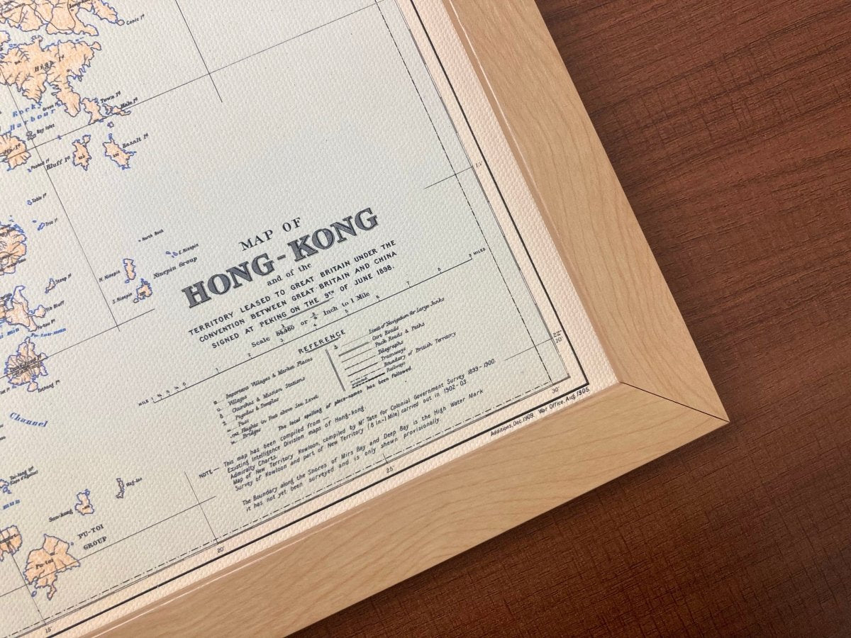
In 1860 the Convention of Peking ceded the Kowloon peninsula south of Boundary Street to Britain, extending Hong Kong's administration onto the mainland for the first time. Both shores are on the sheet, so the town and the countryside can be followed piece by piece. This is a restored reprint; the printed size differs from the original.
- Material: canvas print, digitally restored
- Sizes: A4 21 x 30 cm, 30 x 40 cm, 50 x 70 cm, 60 x 90 cm
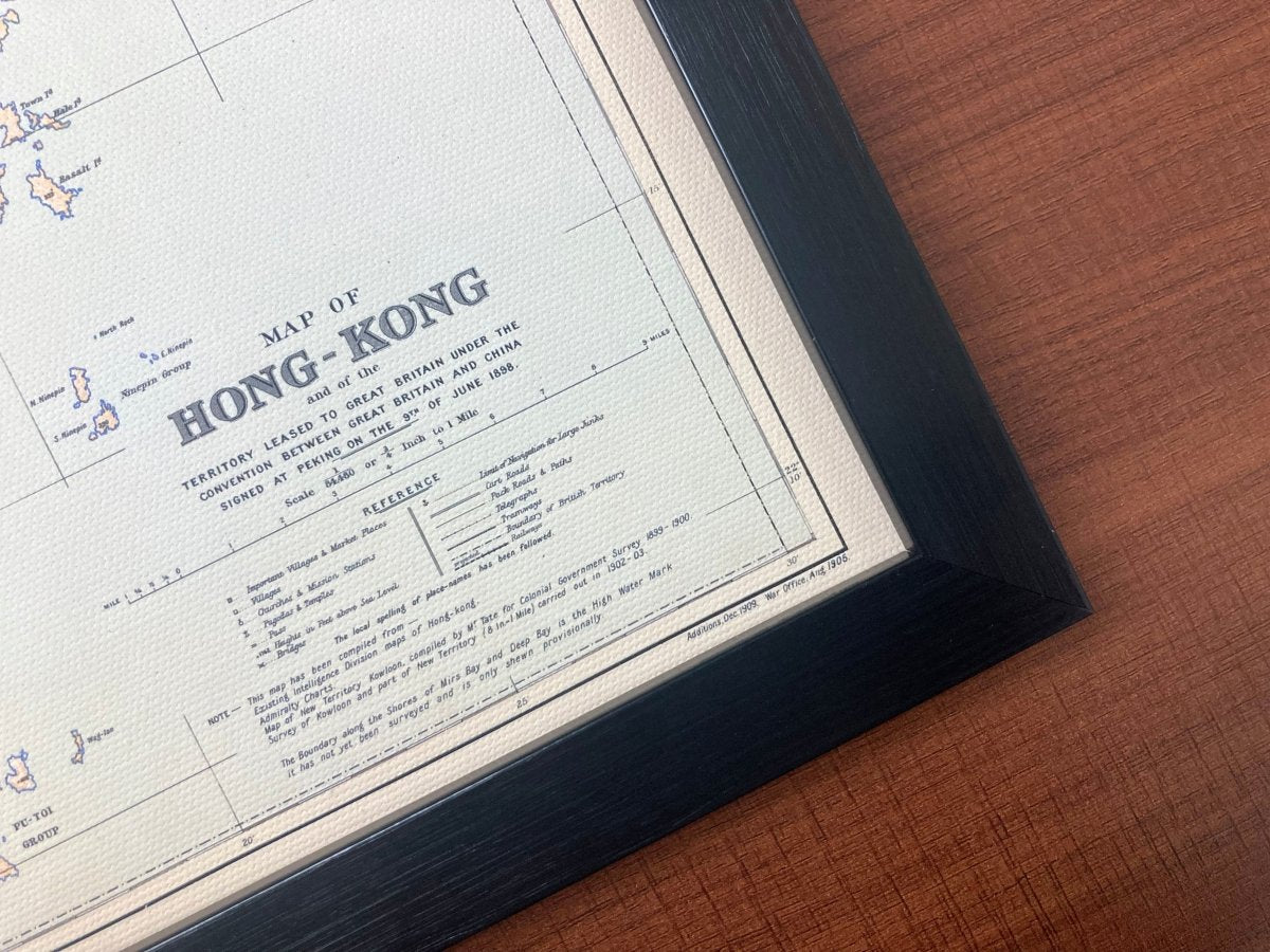
- Frame: optional, sold separately
Want the background to this map? Further reading: 1898, 1905, 1909: Why One Hong Kong Map Carries Three Dates — a close reading of the place names, scales and dates on the sheet.
Delivery to Hong Kong and overseas; allow 3 to 14 days for packing and posting. Pick your size and order, and add a frame if you want one.